1
/
of
1
Northern Ireland Ordnance Survey
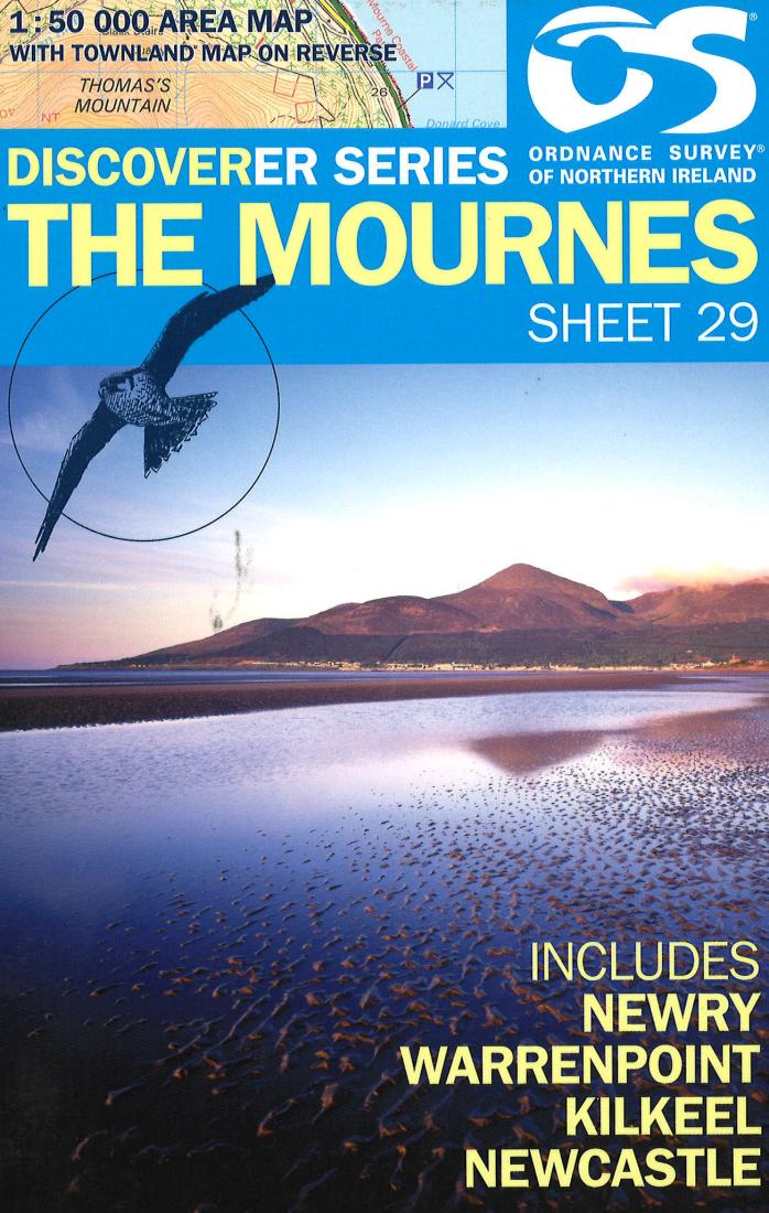
The Mournes - Sheet 29
The Mournes - Sheet 29
Regular price
$17.95 USD
Regular price
Sale price
$17.95 USD
Unit price
/
per
Shipping calculated at checkout.
Low stock
Couldn't load pickup availability
- SKU: IRE50_29_MOU_8
- This Ordnance Survey map of the Mournes shows road and topographic details for the area. This map is printed in color on one side with an index on the reverse.
- Type: Folded Map
- Subtype: General Topographic
- Language: English
- Publication Date: 2008-06-01
- Scale: 1:50,000
- Regions Covered: British Isles, Europe
- Countries Covered: United Kingdom
- States Covered: Northern Ireland
- ISBN: 9781905306329
- Folded Size: 4.33" (W) x 7.09" (H)
- Unfolded Size: 27.17" (W) x 38.19" (H)
- Weight: 2.8 oz


