Raven Maps
The Mid-Atlantic Coast Elevation Tints Fine Art Print Map
The Mid-Atlantic Coast Elevation Tints Fine Art Print Map
Regular price
$95.00 USD
Regular price
Sale price
$95.00 USD
Unit price
per
Shipping calculated at checkout.
Couldn't load pickup availability
- SKU: PODRP_MID_ATL_ELEV_19X30_WA
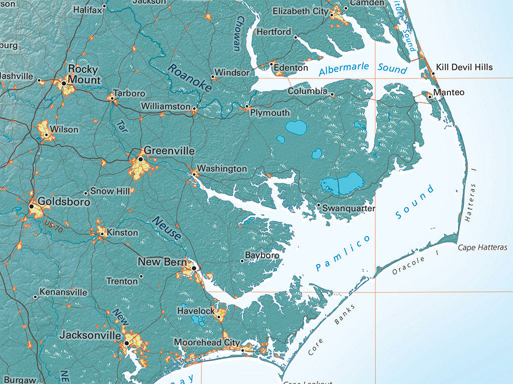
From Long Island Sound and the Hudson River to Chesapeake Bay, the Mid Atlantic Region is historically the real American Heartland. Lake Erie and Lake Ontario help define the regional setting. (Cape Hatteras and the Carolina coastline are just such beautiful shapes that we couldn’t leave them off).
This map includes all of the coast from the western edge of Narraganset Bay south to Santee Point in South Carolina. Coverage includes all of Connecticut, New Jersey, Pennsylvania, Maryland, and Delaware, along with most of New York, Massachusetts, and eastern Virginia and North Carolina.
Dimensions: All map dimensions are approximate.- Type: Flat Map
- Subtype: Wall Art
- Language: English
- Regions Covered: Mid-Atlantic/Northeastern U.S., North America
- Countries Covered: United States
- States Covered: Connecticut, Delaware, Maryland, Massachusetts, New Jersey, New York, Pennsylvania
- UPC: 767020012887
- MPN: mid-atlantic-coast-map
- Folded Size: N/A
- Unfolded Size: 19" (W) x 30" (H)
- Finish: Regular Paper