Mapple
The Japanese Alps Hiking Map
The Japanese Alps Hiking Map
Regular price
$19.95 USD
Regular price
Sale price
$19.95 USD
Unit price
per
Shipping calculated at checkout.
Low stock
Couldn't load pickup availability
- SKU: MAPP_H_ALPS_23
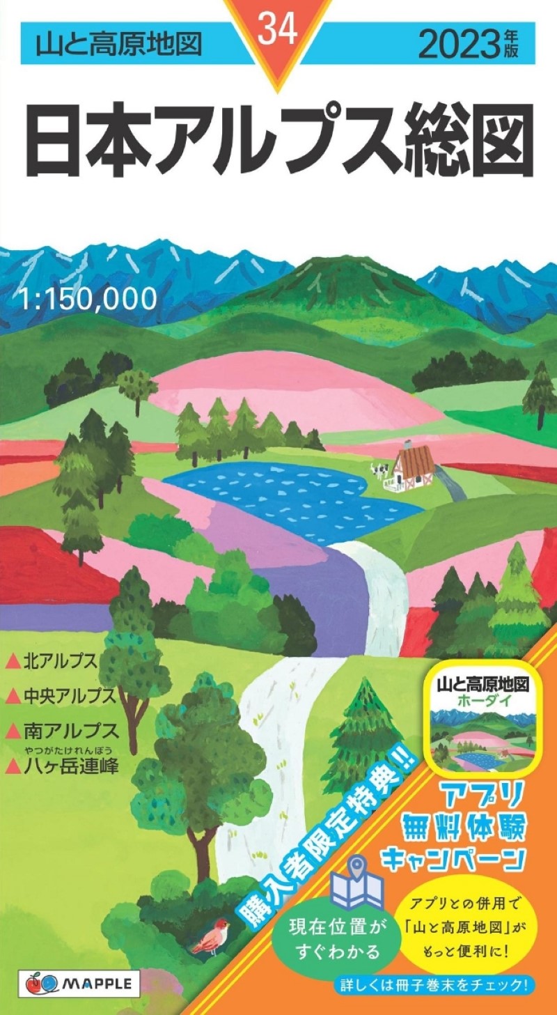
- Experience the great outdoors with the 2023 edition of the "Mountain and Highland Map." Whether you're a seasoned mountaineer, a hiking enthusiast, or simply looking to explore the beauty of Japan's natural landscapes, this map is your ultimate guide. Key Features: Coverage of Prominent Mountain Ranges: This map includes the Northern Alps, Central Alps, Southern Alps, and the Yatsugatake Mountain Range, providing comprehensive coverage of these renowned mountain areas. Exclusive Bonus for 2023 Edition Buyers: When you purchase the 2023 edition of the "Mountain and Highland Map," you'll receive an exclusive bonus—a six-month free access to the "Mountain and Highland Map Holdai" app for the same area. Seamlessly combine the convenience of a paper map with the instant location awareness of an electronic map, enhancing the utility, safety, and enjoyment of your mountain expeditions. (For detailed information, please refer to the product you've purchased.) A Classic Map for Mountain Enthusiasts: The "Mountain and Highland Map" boasts over 50 years of success as the go-to map for mountaineering and hiking. It meticulously details valleys, ridges, contour lines, and hiking trails. With yearly updates, it showcases approximately 1,500 mountains nationwide, aiding you in crucial tasks like tracking your "destination" and "current location." Incorporating the Latest Information: The "Mountain and Highland Map" prioritizes "utility" for both planning and executing mountain journeys. It verifies information on hiking trails, mountain huts, water sources, hazardous spots, and landmarks through on-site surveys, providing you with the most up-to-date data. It also offers clear comments on points prone to navigation errors. Additionally, the map features regularly spaced "magnetic north lines" on its surfaces, making it easier to discern the deviation between true north and magnetic north as indicated by a compass. Visual Course Guide in a Compact Booklet: The accompanying booklet presents hiking plans in an easily understandable format, including course times, explanations, and photographs. It also provides access maps to trailheads and enriching columns to deepen your knowledge of the mountain area. Weather-Resistant, Tear-Resistant Paper: The map is printed on durable, water-resistant paper designed to withstand moisture without tearing. Furthermore, it is treated with "varnish finishing" to prevent ink smudging, ensuring you can confidently unfold it even in rainy or adverse weather conditions. Specifications: Map Size: 54.5 × 78.8 cm Package Size: 19.1 × 10.5 × 0.8 cm Elevate your mountain adventures with the 2023 "Mountain and Highland Map." Explore nature's wonders with precision and confidence.
- Type: Folded Map
- Subtype: Hiking
- Language: Japanese
- Publication Date: 2023-06-01
- Regions Covered: Asia, East Asia, Pacific Ocean
- Countries Covered: Japan
- States Covered: Gifu, Nagano, Niigata, Shizuoka, Toyama, Yamanashi
- ISBN: 9784398769695
- Folded Size: 4" (W) x 8" (H)
- Unfolded Size: 31" (W) x 21.45" (H)