1
/
of
1
Fine Edge
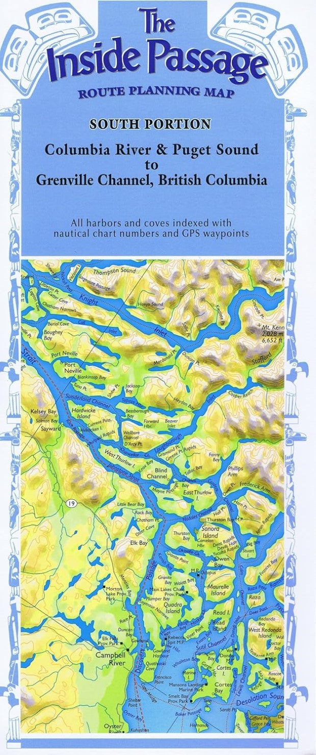
The inside passage : route planning map : south portion : Columbia River & Puget Sound to Grenville Channel, British Columbia
The inside passage : route planning map : south portion : Columbia River & Puget Sound to Grenville Channel, British Columbia
Regular price
$19.95 USD
Regular price
Sale price
$19.95 USD
Unit price
/
per
Shipping calculated at checkout.
Couldn't load pickup availability
- SKU: FE_AK_IP_S_6
- Folded color map of harbors along the coast. Covers Mt. Rainier Nat'l Park up to Pitt and Queen Charlotte Islands. Index of coves and places on back with coordinates.
- Type: Folded Map
- Subtype: Park
- Language: English
- Publication Date: 2006-06-01
- Scale: 1:633,600
- Regions Covered: North America, Northwestern U.S.
- Countries Covered: Canada, United States
- States Covered: Alaska, British Columbia
- ISBN: 9780938665885
- Folded Size: 5.31" (W) x 12.2" (H)
- Unfolded Size: 60.04" (W) x 24.02" (H)
- Weight: 3 oz


