Raven Maps
The Gulf Coast Elevation Tints Fine Art Print Map
The Gulf Coast Elevation Tints Fine Art Print Map
Couldn't load pickup availability
- SKU: PODRP_GULF_ELEV_35X19_WA
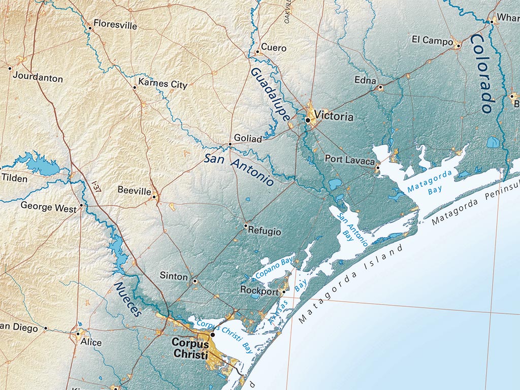
On our Gulf Coast Map, the Gulf and Florida coastlines make a sweeping arc, punctuated most notably by the delta of the Mississippi River. The Gulf country as a whole is so low that the coast itself does not show up distinctly on most elevation-based maps. Our map emphasizes the lowest 200 feet, revealing quite marked regional differences.
This map is centered roughly on New Orleans. It includes the Atlantic Coast up to Charleston, South Carolina; on the west, it extends along the entire Texas coast and another 150 miles south beyond the Rio Grande. The map covers much of Texas, all of Louisiana and Florida, and the southern halves of Mississippi, Alabama, and Georgia.
Dimensions: All map dimensions are approximate.- Type: Flat Map
- Subtype: Wall Art
- Language: English
- Regions Covered: North America, Southern U.S.
- Countries Covered: United States
- States Covered: Florida, Georgia, Louisiana, Texas
- UPC: 767020012252
- MPN: the-gulf-coast-map
- Folded Size: N/A
- Unfolded Size: 35" (W) x 19" (H)
- Finish: Regular Paper