Raven Maps
The Great Lakes Elevation Tints Fine Art Print Map
The Great Lakes Elevation Tints Fine Art Print Map
Couldn't load pickup availability
- SKU: PODRP_GR_LKS_ELEV_30X22_WA
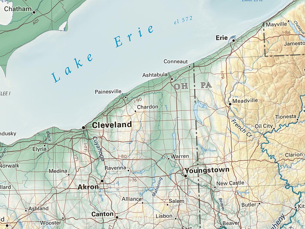
These beautiful lakes owe their vast size to the latest ice age, when most of Earth's ice was concentrated in North America, and successive glacial advances and retreats repeatedly crossed the region. Shaded relief with hypsometric tinting on the landscape is now joined by detailed bathymetry to showcase the complex and varied topographies hidden beneath the surfaces of the Great Lakes. Physical features, cities, and major road networks are shown to provide geographic context on this map with a scope stretching from the Boundary Waters to the Poconos.
Included on the map: The entire states of Wisconsin and Michigan, most of Minnesota, Iowa, and New York, and smaller parts of Indiana, Ohio, Pennsylvania, and Illinois. Also on the map are quite a bit of Ontario and Quebec as well as some of Manitoba.
Dimensions: All map dimensions are approximate.- Type: Flat Map
- Subtype: Wall Art
- Language: English
- Regions Covered: Midwest, North America
- States Covered: Iowa, Michigan, Minnesota, Ohio, Wisconsin
- UPC: 767020012160
- MPN: great-lakes-elevation-tints-map
- Folded Size: N/A
- Unfolded Size: 30" (W) x 22" (H)
- Finish: Regular Paper