1
/
of
1
Ordnance Survey
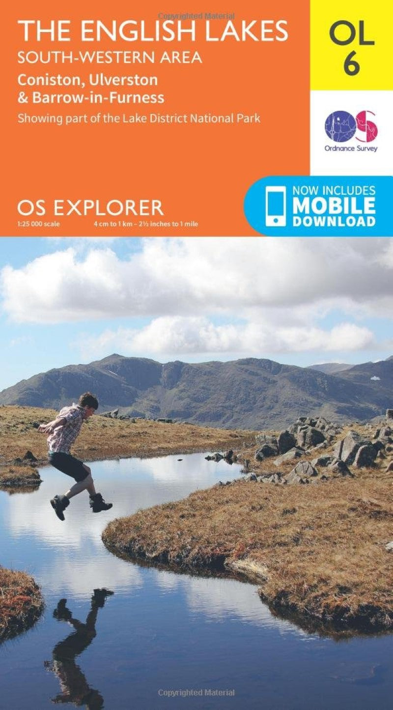
The English Lakes - South Western area, Consiton, Ulverston & Barrow-in-Furness : OS Explorer Map Outdoor Leisure
The English Lakes - South Western area, Consiton, Ulverston & Barrow-in-Furness : OS Explorer Map Outdoor Leisure
Regular price
$19.95 USD
Regular price
Sale price
$19.95 USD
Unit price
/
per
Shipping calculated at checkout.
Low stock
Couldn't load pickup availability
- SKU: OS_EXP_OL06_15
- Map sheet number OL 6 in the OS Explorer map series, The English Lakes: South-western area. is the ideal map for discovering all that the south west area of the Lake District has to offer. Highlights include: Scafell Pike, Coniston, Wast Water and Tarn Hows. Features detailed and easy to read map from Ordnance Survey, scale: 1:25,000. Includes mobile download of map for use on your smartphone. Shows tourist information points, popular sites, viewpoints, places of interest and rights of way information.
- Type: Folded Map
- Subtype: Hiking
- Language: English
- Publication Date: 2015-06-01
- Scale: 1:25,000
- Regions Covered: British Isles, Europe
- Countries Covered: United Kingdom
- States Covered: England
- ISBN: 9780319242452
- MPN: OL6
- Folded Size: 5.25" (W) x 9.5" (H)
- Unfolded Size: 37" (W) x 54.5" (H)
- Weight: 4.5 oz


