Raven Maps
The East Coast Elevation Tints Fine Art Print Map
The East Coast Elevation Tints Fine Art Print Map
Couldn't load pickup availability
- SKU: PODRP_EAST_COAS_ELEV_35X69_WA
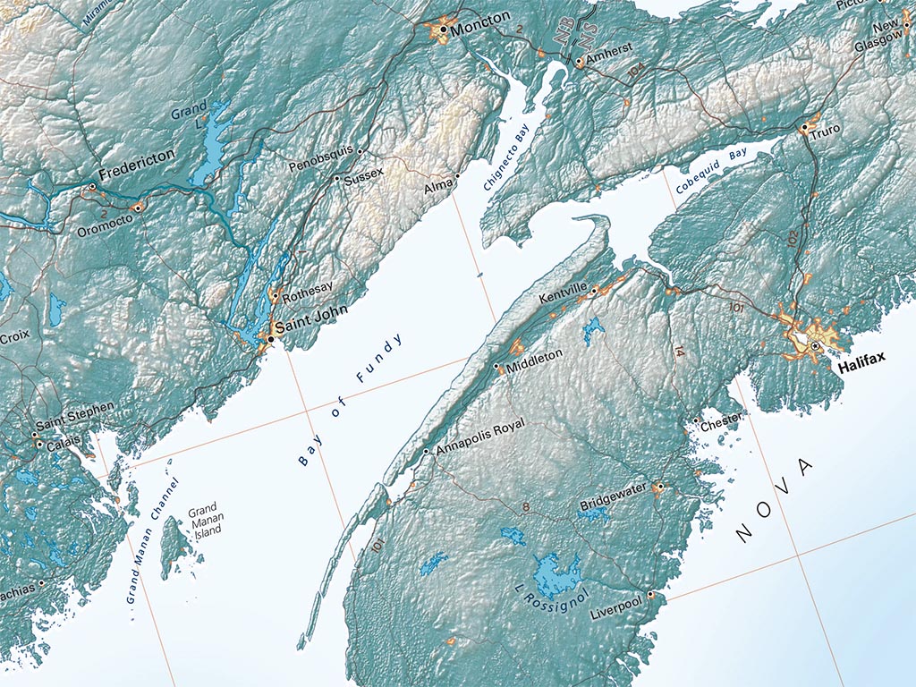
Any map of the East Coast must either include a great deal of the Atlantic Ocean and of the Midwest, or abandon the normal “north up” orientation. The second choice allows for a more interesting map. We’ve rotated the map about 8° counter-clockwise, and included the Bahamas and the Canadian Maritime Provinces (and even a bit of Newfoundland). That seemed about as far off “north-up” as we could go without feeling disoriented.
That still includes a good deal of the interior continent, especially in the north, but the Great Lakes and the St Lawrence River Valley are useful references in defining the East Coast.
The East Coast map covers North America's Atlantic Coast from the Gulf of St. Lawrence in the north down to the Florida Keys and the Bahamas.
The map includes the Florida Peninsula, coastal SE Georgia, and most of the Carolinas, Virginia, and West Virginia. All of the Mid-Atlantic and New England states are shown in their entirety, along with much of Ontario, Quebec, and the Maritime Provinces.
Dimensions: All map dimensions are approximate.- Type: Flat Map
- Subtype: Wall Art
- Language: English
- Regions Covered: Mid-Atlantic/Northeastern U.S., North America, Southern U.S.
- Countries Covered: United States
- States Covered: Connecticut, Delaware, Florida, Maine, Maryland, Massachusetts, New Hampshire, New Jersey, New York, North Carolina, Pennsylvania, Rhode Island, South Carolina, Vermont, Virginia
- UPC: 767020011750
- MPN: east-coast-map
- Folded Size: N/A
- Unfolded Size: 35" (W) x 69" (H)
- Finish: Regular Paper