Litografia Artistica Cartografica
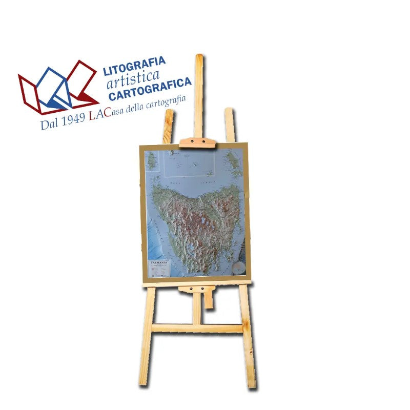
Tasmania - Raised Relief Map 70 x 91 cm
Tasmania - Raised Relief Map 70 x 91 cm
Couldn't load pickup availability
- SKU: LAC_RR_TASMANIA
Litografia Artistica Cartografica presents a remarkable raised relief map that captures the pristine beauty and diverse landscapes of Tasmania with exquisite detail and precision. This three-dimensional masterpiece offers a tactile journey through the unique terrain and geographical features of Australia's island state.
Crafted with meticulous artistry, the relief map intricately showcases Tasmania's rugged coastlines, rolling plains, and mountainous regions. Each contour, valley, and peak is meticulously depicted, allowing viewers to trace the distinctive topography, from the rugged peaks of the Western Arthur Range to the serene expanses of Cradle Mountain-Lake St. Clair National Park.
The map vividly highlights Tasmania's natural wonders, including the captivating formations of the Tasman Peninsula, the mesmerizing beauty of Wineglass Bay in Freycinet National Park, and the World Heritage-listed wilderness areas such as Southwest National Park and Franklin-Gordon Wild Rivers National Park.
Moreover, the relief map showcases the intricate network of rivers, lakes, and forests that define Tasmania's diverse ecosystems. It captures the charm of Hobart, the capital city, and other notable towns, while emphasizing the island's cultural and historical significance.
As both an educational tool and a stunning piece of art, this raised relief map invites exploration and appreciation of Tasmania's natural splendor. Whether displayed in educational settings or as a centerpiece, it provides a tactile and visually immersive experience, inviting viewers to marvel at the island's unique beauty and geographical richness.
- Type: Flat Map
- Subtype: Raised Relief
- Language: Italian
- Scale: 1:550,000
- Regions Covered: Australasia, Oceania, Pacific Ocean
- Countries Covered: Australia
- Folded Size: N/A
- Unfolded Size: 27.5" (W) x 36.8" (H)
- Weight: 1 lb


