Hema Maps
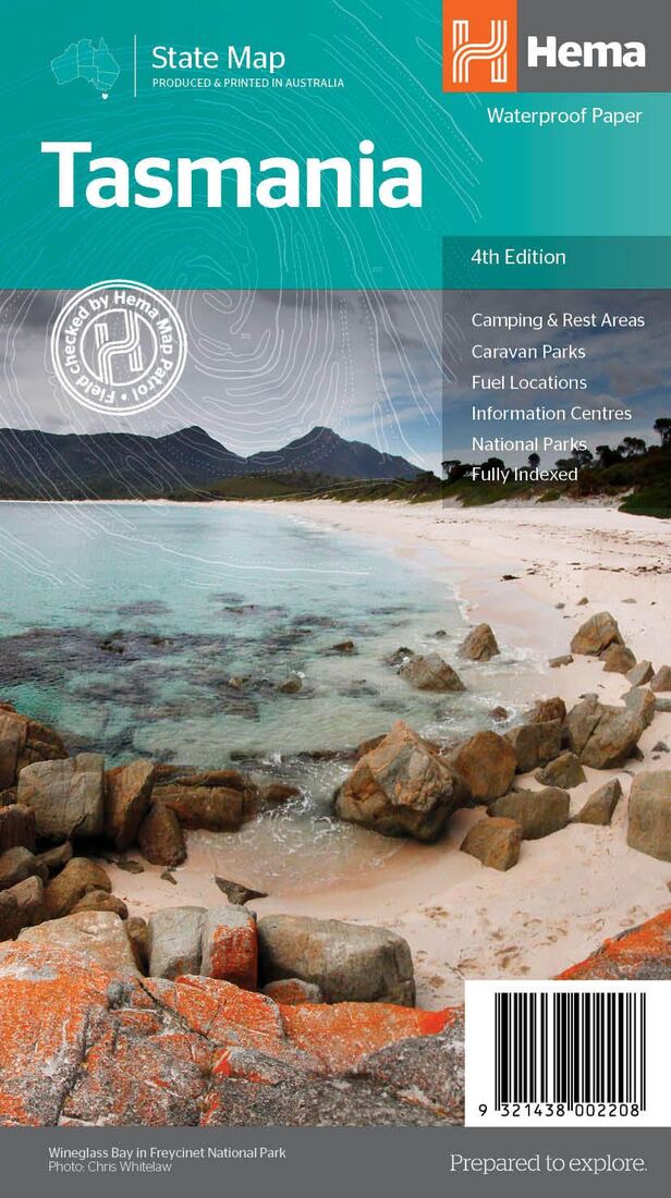
Tasmania, Australia, State Map
Tasmania, Australia, State Map
Regular price
$14.95 USD
Regular price
Sale price
$14.95 USD
Unit price
per
Shipping calculated at checkout.
Couldn't load pickup availability
- SKU: HEMA_TAS_21
- Great for travel planning, Hema's Tasmania state map clearly shows highways, minor and secondary roads, national and state routes and fully-indexed cities, towns and localities. Detailed road distances are also shown. The flipside of the map features loads of insets covering various bits and pieces throughout Tasmania including street maps of Hobart, Launceston, Devonport and Burnie as well as a couple of regional maps covering the areas around Hobart and Launceston. There's also some photos showing highlights throughout the state. The map features: Camping areas Rest areas 24 hour fuel locations Outback fuel stops Caravan parks National parks A full index Points of interest A distance grid
- Type: Folded Map
- Subtype: Road
- Language: English
- Publication Date: 2021-06-01
- Scale: 1:500,000
- Regions Covered: Australasia, Oceania, Pacific Ocean
- Countries Covered: Australia
- States Covered: Tasmania
- ISBN: 9321438002208
- Folded Size: 5.51" (W) x 9.84" (H)
- Unfolded Size: 39.37" (W) x 27.56" (H)
- Weight: 3.2 oz