1
/
of
1
National Geographic Maps
Taos Wheeler Peak Topographic Map
Taos Wheeler Peak Topographic Map
Regular price
$14.95 USD
Regular price
Sale price
$14.95 USD
Unit price
/
per
Shipping calculated at checkout.
Low stock
Couldn't load pickup availability
- SKU: TI_NM_TAOS_20
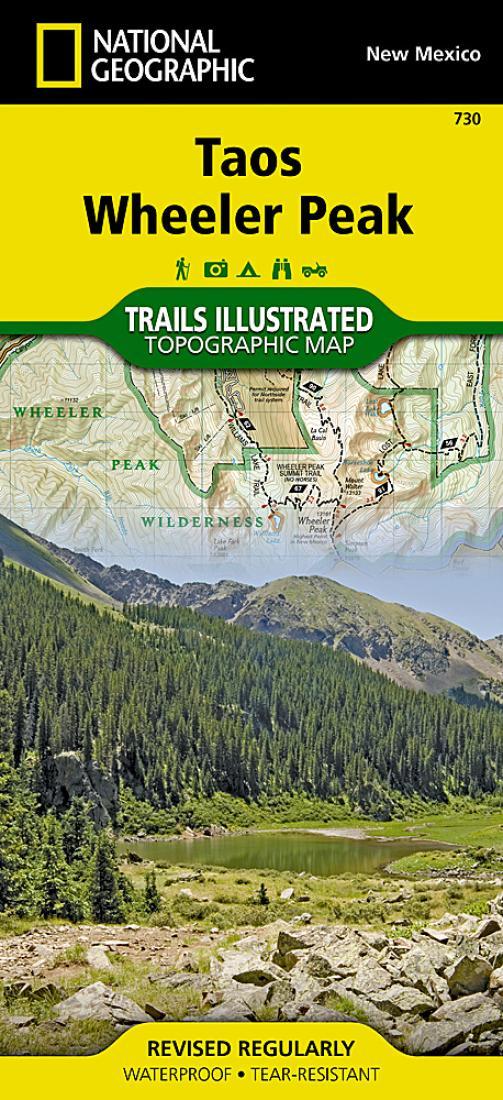
- • Waterproof • Tear-Resistant • Topographic Map The northern New Mexico town of Taos lies in the high desert bounded by the Sangre de Cristo Mountains. In those mountains northeast of the town, Wheeler Peak rises, the highest natural point in New Mexico. Expertly researched and created in partnership with local land management agencies, National Geographic's Trails Illustrated map of Taos, Wheeler Peak provides an unparalleled tool for exploring this unique region of historic pueblos, scenic rivers, enchanting desert, and picturesque mountains. Some of the many key areas of interest included are Carson National Forest; Rio Grande Del Norte National Monument; portions of Rio Honda and Red River; Coyote Creek State Park; Wheeler Peak and Latir Peak wilderness areas; Eagle Nest Lake State Park; Colin Neblett State Wildlife Area; and Taos Pueblo, a UNESCO World Heritage Site. With miles of mapped trails including Columbine Twining National Recreation Trail and select mountain bike routes, this map will prove handy in guiding you off the beaten path and back again. Trail mileage between intersections will help you choose the path that's right for you. The Wild Rivers and Enchanted Circle scenic byways are noted for those wishing to take in the scenery by car. Recreation features are clearly marked, including campgrounds, trailheads, interpretive trails, fishing areas, boat ramps, whitewater access, horse camps, and ski areas. The map base includes contour lines and elevations for summits, passes and lakes. Every Trails Illustrated map is printed on "Backcountry Tough" waterproof, tear-resistant paper. A full UTM grid is printed on the map to aid with GPS navigation. Other features found on this map include: Agua Fria Peak, Baldy Mountain, Carson National Forest, Cerro Vista, Eagle Nest Lake, Latir Peak Wilderness, Palo Flechado Pass, Wheeler Peak, Wheeler Peak Wilderness.
- Type: Folded Map
- Subtype: Park
- Language: English
- Publication Date: 2020-06-01
- Scale: 1:63,360
- Regions Covered: North America, Southwestern U.S.
- Countries Covered: United States
- States Covered: New Mexico
- ISBN: 9781566953092
- UPC: 749717017306
- MPN: TI00000730
- Folded Size: 4" (W) x 9" (H)
- Unfolded Size: 38" (W) x 26" (H)
- Weight: 2.6 oz


