Mapple
Tanzawa Mountains area Hiking Map
Tanzawa Mountains area Hiking Map
Couldn't load pickup availability
- SKU: MAPP_H_TANZAWA_26
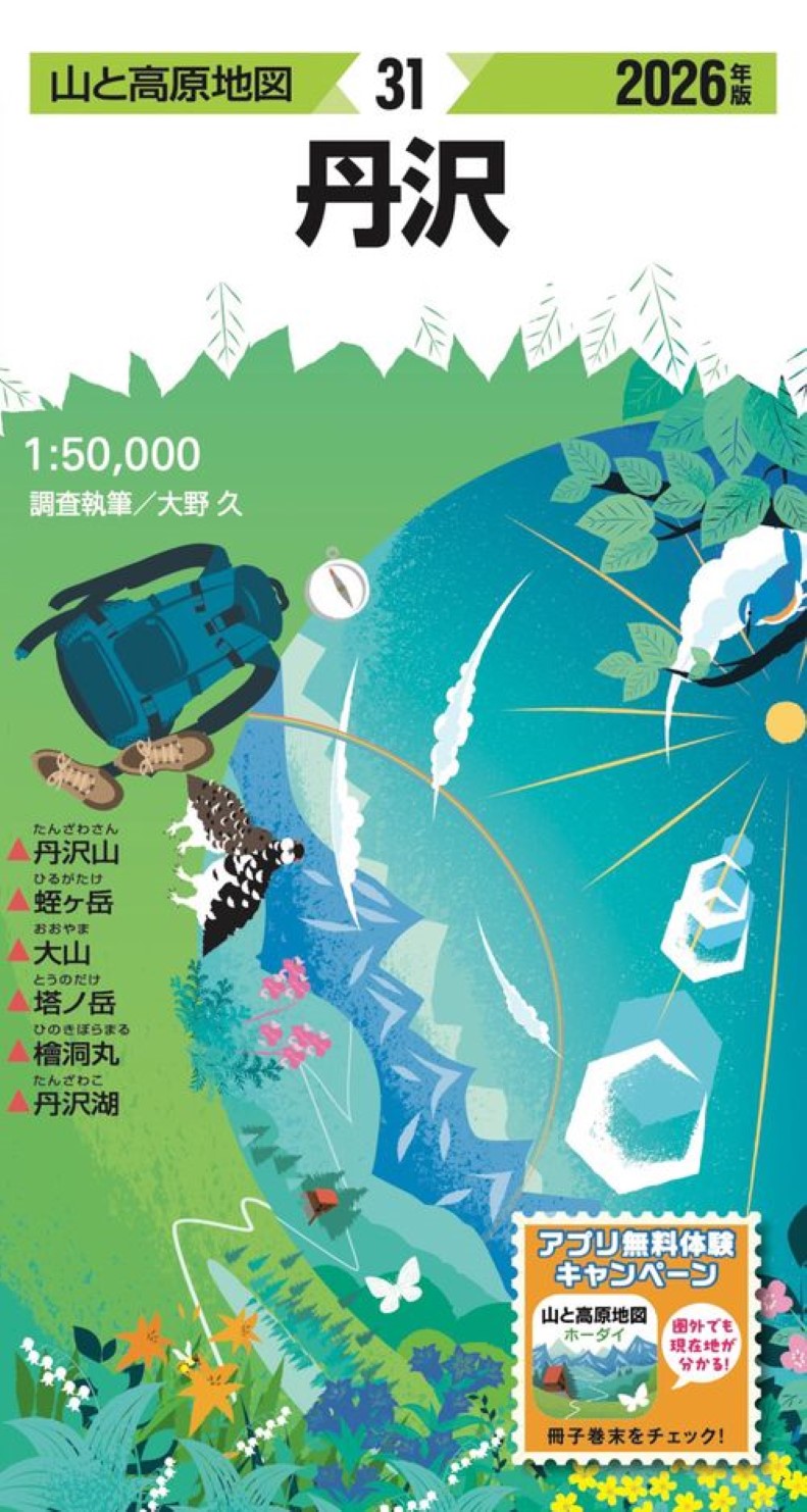
Tanzawa Trail Map – 2026 Edition
Explore Japan’s most beloved mountain region with confidence using the 2026 edition of the “Tanzawa ” (Mountain & Highland Map) — now bundled with an exclusive purchaser-only coupon.
With your purchase, you’ll receive 6 months of free access to the matching area on the “Tanzawa” mobile app. Combine the clarity and big-picture overview of a traditional paper map with the convenience of a GPS-enabled app that instantly shows your current location. The result? A safer, smarter, and more enjoyable hiking experience.
Japan’s Classic Hiking Map Series – Trusted for Over 60 Years
The Tanzawa series has been a trusted name in mountaineering maps for more than six decades. Covering major mountain areas across Japan — including all peaks from “100 Famous Mountains of Japan” by Kyūya Fukada — it’s an essential planning tool for hikers of all levels.
Perfect for:
Route planning
Elevation and terrain overview
Understanding entire trail networks at a glance
Field-Researched & Updated Annually
Each map is updated yearly through on-site research conducted by regional mountain experts. Every detail is carefully verified, including:
Trail conditions
Mountain huts and shelters
Water sources
Hazard zones
Trail markers and landmarks
Complex junctions and confusing sections are illustrated with enlarged diagrams and visual guides to reduce the risk of getting lost. Magnetic north lines are clearly marked, making it easy to adjust for compass declination.
Includes a Detailed Hiking Guidebook
Your map also comes with a comprehensive guide booklet featuring:
Multiple recommended hiking plans curated by professionals
Elevation profiles
Trail photos
Distance, estimated time, and difficulty ratings
Access and transportation information
Nature and history columns to enrich your adventure
Everything you need to clearly visualize and prepare for your hike.
Durable, Weather-Resistant Paper
Printed on specially developed tear-resistant, water-resistant paper, this map withstands rain and harsh weather conditions. Even in wet environments, you can unfold and use it without worry.
- Type: Folded Map
- Subtype: Hiking
- Language: Japanese
- Publication Date: 2026-02-20
- Scale: 1:50,000
- Regions Covered: Asia, East Asia, Pacific Ocean
- Countries Covered: Japan
- States Covered: Kanagawa
- ISBN: 9784398772718
- Folded Size: 31" (W) x 22" (H)
- Unfolded Size: 4" (W) x 8" (H)
- Weight: 3.5 oz