Rand McNally
Tampa, St Petersburg and Ocala to Sarasota Regional Map
Tampa, St Petersburg and Ocala to Sarasota Regional Map
Regular price
$9.99 USD
Regular price
Sale price
$9.99 USD
Unit price
per
Shipping calculated at checkout.
Couldn't load pickup availability
- SKU: RM_TAMPA_REG_24
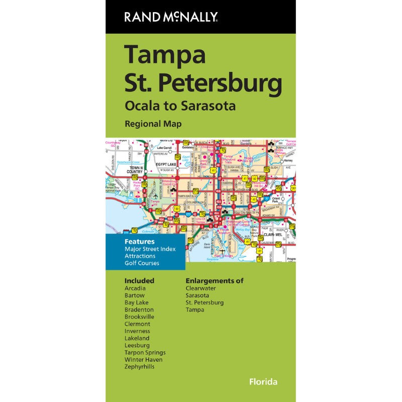
Rand McNally's folded map for Tampa St.Petersburg is a must-have for anyone traveling in and around this part of Florida, offering unbeatable accuracy and reliability at a great price. Our trusted cartography shows all Interstate, U.S., state, and county highways, along with clearly indicated parks, points of interest, airports, county boundaries, and streets. The easy-to-use legend and detailed index make for quick and easy location of destinations. You'll see why Rand McNally folded maps have been the trusted standard for years.
- Regularly updated
- Full-color maps
- Clearly labeled Interstate, U.S., state, and county highways
- Indications of parks, points of interest, airports, county boundaries, downtown & vicinity maps
- Major attractions & Golf Courses
- Enlargements of Clearwater, Sarasota, St. Petersburg & Tampa
- Easy-to-use legend
- Detailed index & Major Street Index
- Convenient folded size
- Copyright 2024
Coverage Area
Communities Included: Arcadia, Bartow, Bay Lake, Bradenton, Brooksville, Clermont, Inverness, Lakeland, Leesburg, Tarpon Springs, Winter Haven, Zephyrhills- Type: Folded Map
- Subtype: City Maps
- Language: English
- Publication Date: 2024-06-01
- Scale: 1:205,920
- Regions Covered: North America, Southern U.S.
- Countries Covered: United States
- States Covered: Florida
- ISBN: 9780528028755
- Folded Size: 4.33" (W) x 9.06" (H)
- Unfolded Size: 27.56" (W) x 39.37" (H)
- Weight: 2.2 oz