1
/
of
1
GiziMap
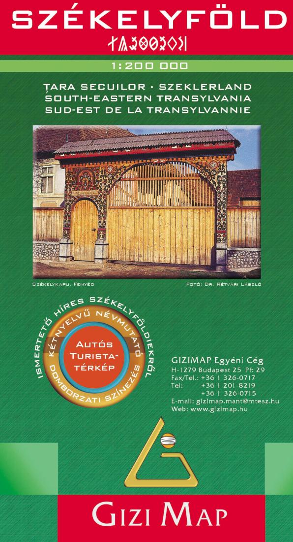
Székelyföld : 1:200,000 : autós turista-térképara Secuilor = Szeklerland = South-eastern Transylvania
Székelyföld : 1:200,000 : autós turista-térképara Secuilor = Szeklerland = South-eastern Transylvania
Regular price
$14.95 USD
Regular price
Sale price
$14.95 USD
Unit price
/
per
Shipping calculated at checkout.
Couldn't load pickup availability
- SKU: GIZ_TRANS_SE_15
- The eastern part of Transylvania on a detailed, indexed road at 1:200,000 from Gizi Map, with bold altitude colouring and spot heights providing an excellent presentation of the topography of this fascinating region. Plenty of names of mountain ranges are provided and national parks or protected areas are marked. Road network includes minor roads and tracks, and intermediate driving distances are marked on main and many local routes. Railways, cableways and ski-lifts, etc. are included. Symbols denote places of interest, museums, natural curiosities and landmarks, churches of various denominations, antiquities, campsites, spas, etc. Place names are shown with their old historical Hungarian equivalents. The map has latitude and longitude grid lines drawn at 10' and 15' intervals respectively. Map legend includes English. A double index, listing both the present and the historical names, is on reverse.
- Type: Folded Map
- Subtype: Road
- Language: Hungarian
- Publication Date: 2015-06-01
- Scale: 1:200,000
- Regions Covered: Eastern Europe, Europe
- Countries Covered: Romania
- ISBN: 9789638680891
- Folded Size: 5.12" (W) x 9.45" (H)
- Unfolded Size: 46.26" (W) x 28.35" (H)
- Weight: 4.2 oz


