1
/
of
1
Reise Know-How Verlag
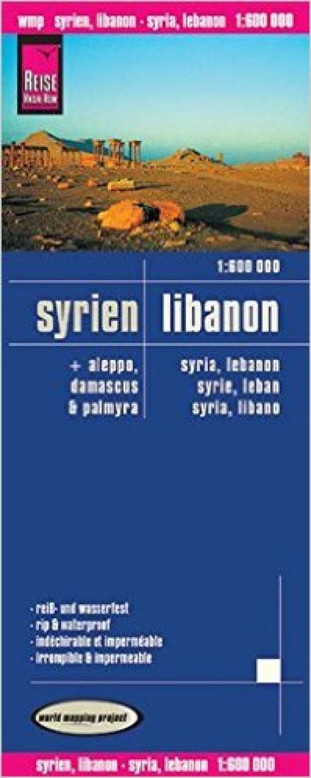
Syrien, Libanon = Syria, Lebanon = Syrie, Leban = Syria, Libano
Syrien, Libanon = Syria, Lebanon = Syrie, Leban = Syria, Libano
Regular price
$14.95 USD
Regular price
Sale price
$14.95 USD
Unit price
/
per
Shipping calculated at checkout.
Couldn't load pickup availability
- SKU: RKH_SYR_LEB_11
- Indexed, waterproof and tear-resistant road map of Syria and Lebanon with topographic and tourist information and plans of central Damascus, Aleppo and the archaeological site at Palmyra. The map, published by Reise Know-How as part of their highly acclaimed World Mapping Project is double-sided to provide the best balance between a good scale and a convenient size sheet. Coverage extends south to include Amman and Jerusalem. Names of main towns are also shown in Arabic, with all other place names only in Latin alphabet. Clear topographic base has altitude colouring with contours, spot heights, names of mountain ranges. Seasonal rivers and lakes, springs and hot springs are marked. Road network includes seasonal local tracks, gives driving distances on main roads and shows locations of border crossings. Railway lines, local airfields and oil or gas pipelines are also marked. Internal administrative boundaries are shown with names of the provinces. National parks and protected areas are marked and symbols highlight various places of interest, including UNESCO world heritage sites, archaeological remains, mosques and churches, castles, etc. Campsites and locations with hotel accommodations are indicated. The map has a grid with latitude and longitude at intervals of 30’, and an extensive index of localities. Map legend includes English. Street plans of central Damascus, with an enlargement for the Old Town, and Aleppo highlight numerous places of interest. Also included is a plan of the Roman remains at Palmyra. PLEASE NOTE: In the Golan Heights the map shows the pre-1967 border as the current boundary between Syria and Israel. Although the two demarcation lines with the UNDOF zone are marked, there is no indication on the map that the area west of the zone is currently under the Israeli control. *”World Mapping Project”* is an extensive series of maps at varying scales, aiming to provide coverage of countries and regions worldwide using clear, well presented cartography with both topographic and tourist information.
- Type: Folded Map
- Subtype: Road
- Language: English, French, German, Spanish
- Publication Date: 2011-06-01
- Scale: 1:600,000
- Regions Covered: Asia, Middle East, Western Asia
- Countries Covered: Lebanon, Syria
- ISBN: 9783831771257
- Folded Size: 4.72" (W) x 10.24" (H)
- Unfolded Size: 39.37" (W) x 27.56" (H)
- Weight: 2.8 oz


