International Travel Maps
Sumatra Travel Map
Sumatra Travel Map
Couldn't load pickup availability
- SKU: ITM_SUMATRA_25
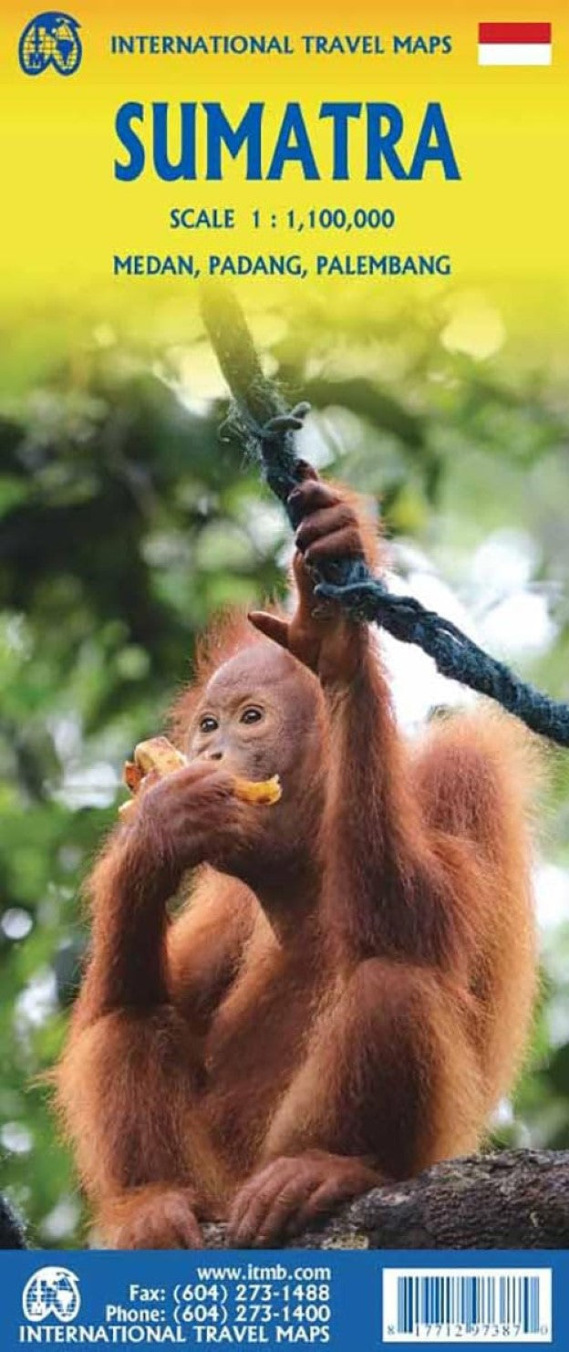
The Indonesian island of Sumatra is not only the largest portion of this nation of islands, it is also very close to Singapore and Malaysia, so has easy connections to both countries as well as to other parts of Indonesia. Side 1 shows the northern portion of Sumatra, with an excellent inset map of Medan, its major city. Several offshore islands are included, as well as a significant Top Attractions list. Side 2 shows the bulk of the island as well as a portion of southern Malaysia, Singapore, and various islands in the vicinity. Ferry routes to Java, Malacca (part of Malaysia), the Lingga and Riau Archipelagoes and Singapore are included, as well as inset maps of Padang and Palembang, the two major cities in the south. Sumatra has a well-developed road network along its western side, but not along its eastern portion, except in the far north. Thus, the island remains a place for adventure travel waiting to be discovered.
Map size: 27" x 39"
- Type: Folded Map
- Subtype: Travel
- Language: English
- Publication Date: 2024-12-01
- Scale: 1:100,000
- Regions Covered: Asia, Oceania, Southeast Asia
- Countries Covered: Indonesia
- ISBN: 9781771297387
- Folded Size: 4" (W) x 9.5" (H)
- Unfolded Size: 38" (W) x 26.5" (H)
- Weight: 1.8 oz