1
/
of
1
Freytag & Berndt
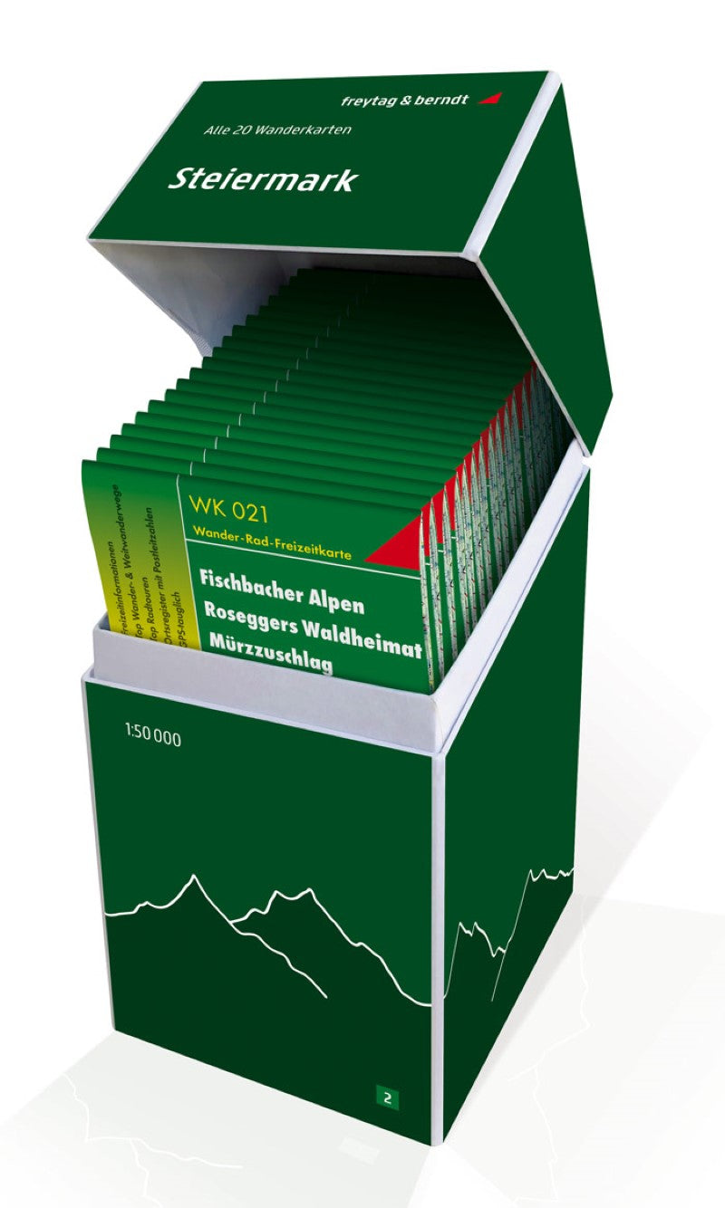
Styria, Hiking map set 1:50,000
Styria, Hiking map set 1:50,000
Regular price
$159.95 USD
Regular price
Sale price
$159.95 USD
Unit price
/
per
Shipping calculated at checkout.
Low stock
Couldn't load pickup availability
- SKU: FB_WK_BOX_2_20
- This unique hiking map box contains a set with all 20 hiking maps of Styria! It is ideal for frequent hikers who want to explore nature on their tours! Freytag & Berndt hiking maps are ideal companions in hiking, mountaineering, cycling and ski tours thanks to the detailed digital cartography and the precise standards. They are also suitable for GPS. Contents: WK 021 Fischbacher Alpen WK 022 Semmering WK ??031 Ötscherland WK 041 Hochschwab WK 062 WK 081 Pyhrn-Priel WK 082 Bad Aussee WK 131 Grazer Bergland WK 133 Gleinalpe WK 133 Graz and surroundings WK 201 Schladminger Tauern Wölzer Wölzer WK 211 Naturpark Zirbitzkogel WK 212 Seetal Alps WK 237 Saualpe WK 281 Dachstein WK 411 Styrian Wine Land WK 412 Southeast Styrian Hügelland WK 422 Change WK 423 Styrian Thermenland
- Type: Folded Map
- Subtype: Hiking
- Language: English, French, German
- Publication Date: 2020-07-25
- Scale: 1:50000
- Regions Covered: Central Europe, Europe
- Countries Covered: Austria
- ISBN: 9783707919028
- MPN: WK BOX 2
- Folded Size: 4.72" (W) x 8.45" (H)
- Unfolded Size: 4.72" (W) x 8.45" (H)
- Weight: 3.88 oz


