1
/
of
1
Streetwise Maps, Inc
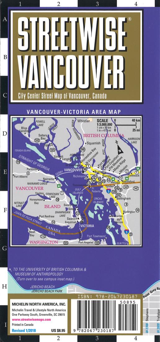
Streetwise Vancouver : city center street map of Vancouver, Canada
Streetwise Vancouver : city center street map of Vancouver, Canada
Regular price
$8.95 USD
Regular price
Sale price
$8.95 USD
Unit price
/
per
Shipping calculated at checkout.
Couldn't load pickup availability
- SKU: SW_VANC_18
- Streetwise Vancouver Map - Laminated City Center Street Map of Vancouver, Canada - Folding pocket size travel map with integrated Sky Train & Express Line routes & stations This map covers the following areas: Main Vancouver Map 1:26,000 Downtown Vancouver Map 1:12,500 Vancouver Area Map 1:120,000 Downtown Victoria, BC Map 1:14,000 University of British Columbia Map 1:57,000 The main map covers all of Downtown along with Stanley Park, Gastown, Chinatown, West End, Yaletown and Granville Island. A separate inset map of the central downtown area highlights hotels, sites, SKYTRAIN stations, shopping, government and educational sites and the cruise ship terminal, where cruises to Alaska start and end. A map of the Vancouver area extends from the southern suburb of Richmond to North and West Vancouver, from Burnaby to Sea Island, including the Vancouver International Airport. All major highways and thoroughfares are depicted along with exit numbers and sites. An inset of the University of BC campus is included as well as an inset of downtown Victoria, BC.
- Type: Folded Map
- Subtype: City Maps
- Language: English
- Publication Date: 2018-06-01
- Scale: Scales differ
- Regions Covered: North America
- Countries Covered: Canada
- States Covered: British Columbia
- ISBN: 9782067230187
- Folded Size: 4" (W) x 9" (H)
- Unfolded Size: 24" (W) x 9" (H)
- Weight: 15.55 oz


