NOAA
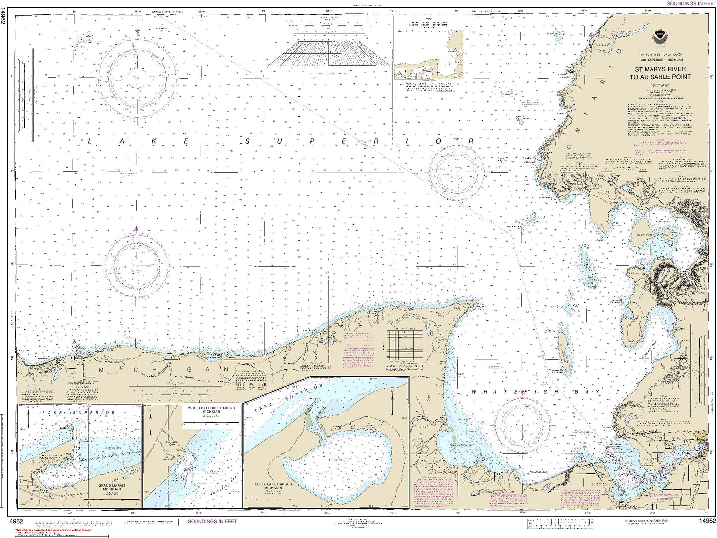
St. Marys River to Au Sable Point (14962) by NOAA
St. Marys River to Au Sable Point (14962) by NOAA
Regular price
$19.00 USD
Regular price
Sale price
$19.00 USD
Unit price
per
Shipping calculated at checkout.
Couldn't load pickup availability
- SKU: USAC-14962-P
- Notice:"NOAA-OCS cancelled Raster and PDF chart 14962 - St. Marys River to Au Sable Point; Whitefish Point; Little Lake Harbors; Grand Marais Harbor, Edition #21 on December 29, 2021.The product will NOT meet U. S. and international carriage requirements for commercial vessels defined in SOLAS Chapter V Regulation 19.2.1."
- Type: Flat Map
- Subtype: General Nautical
- Language: English
- Publication Date: 2014-01-01
- Scale: 1:120,000
- Countries Covered: Canada, United States
- States Covered: Michigan
- MPN: 14962
- Folded Size: N/A
- Unfolded Size: 47.25" (W) x 34.91" (H)