Lakemaps
St. Louis River - MAP PACK - Lakemap - 74100 - 7X11 Black & White (Polypropylene)
St. Louis River - MAP PACK - Lakemap - 74100 - 7X11 Black & White (Polypropylene)
Regular price
$12.95 USD
Regular price
Sale price
$12.95 USD
Unit price
per
Shipping calculated at checkout.
Couldn't load pickup availability
- SKU: PODLM_STLORIV_DBR_7X11_BW_POL_PACK
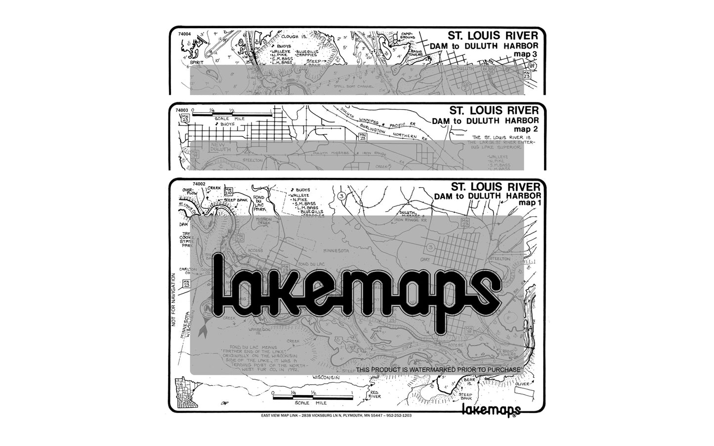
This map pack covers the entirety of the St. Louis River and includes local fish, lake conditions and points of interest. Lakemaps are printed on a white 7 by 11 inch plastic card for durability and convenience. Also available in Color.
Items included:
- St. Louis River - Clough Island to U.S. Hwy. 53 - Lakemap - 74004
- St. Louis River - DAM to HWY. 39 BRIDGE - Lakemap - 74002
- St. Louis River - Hwy. 39 Bridge to Clough Island - Lakemap - 74003- Type: Flat Map
- Subtype: Fishing
- MPN: 74100
- Folded Size: N/A
- Unfolded Size: N/A
- Weight: 0 lb