1
/
of
1
Reise Know-How Verlag
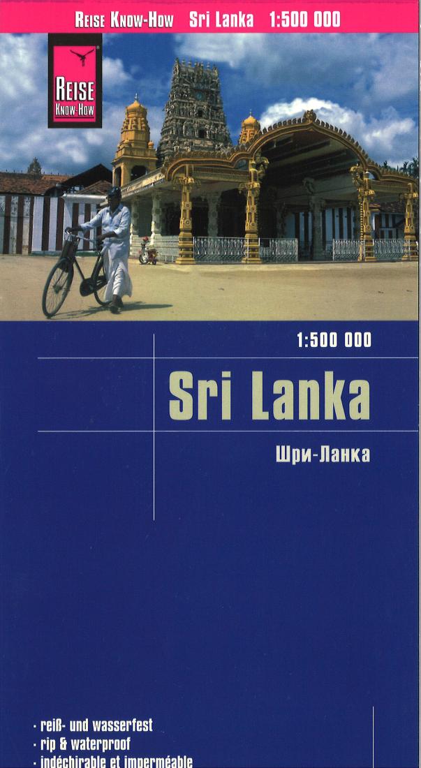
Sri Lanka 1:500 000- 1:500 000
Sri Lanka 1:500 000- 1:500 000
Regular price
$14.95 USD
Regular price
Sale price
$14.95 USD
Unit price
/
per
Shipping calculated at checkout.
Couldn't load pickup availability
- SKU: RKH_SRI_17
- Sri Lanka at 1:500,000 on a light, waterproof and tear-resistant, indexed road map with altitude colouring and prominently highlighted places of interest, published by Reise Know-How as part of their highly acclaimed World Mapping Project. Topography of the island is shown by altitude colouring, plus graphics for swamps, spot heights and names of mountain ranges; national parks and other protected areas are highlighted. In the coastal waters coral reefs are also marked. Clearly presented road network includes selected local tracks and gives driving distances on main routes. Railway lines are includes and local airports are marked. The map also shows internal administrative boundaries and names of the provinces. Names of larger towns are also given in the Sinhalese alphabet. Symbols highlight numerous places of interest, including UNESCO World Heritage sites, temples and other religious buildings, beaches and diving sites, botanical gardens, etc. The map has latitude and longitude lines at 20’ intervals. The index is next to the map. Map legend includes English. ”World Mapping Project” is an extensive series of maps at varying scales, aiming to provide coverage of countries and regions worldwide using clear, well presented cartography with both topographic and tourist information.
- Type: Folded Map
- Subtype: Road
- Language: English, German, Russian
- Publication Date: 2017-06-01
- Scale: 1:500,000
- Regions Covered: Asia, Indian Ocean, South Asia
- Countries Covered: Sri Lanka
- ISBN: 9783831772827
- Folded Size: 4.72" (W) x 10.24" (H)
- Unfolded Size: 35.04" (W) x 27.56" (H)
- Weight: 3.1 oz


