Ocean Explorer Maps
Spitsbergen, Svalbard Archipelago Explorer Map
Spitsbergen, Svalbard Archipelago Explorer Map
Regular price
$15.95 USD
Regular price
Sale price
$15.95 USD
Unit price
per
Shipping calculated at checkout.
Couldn't load pickup availability
- SKU: OE_SPITSBERGE_18
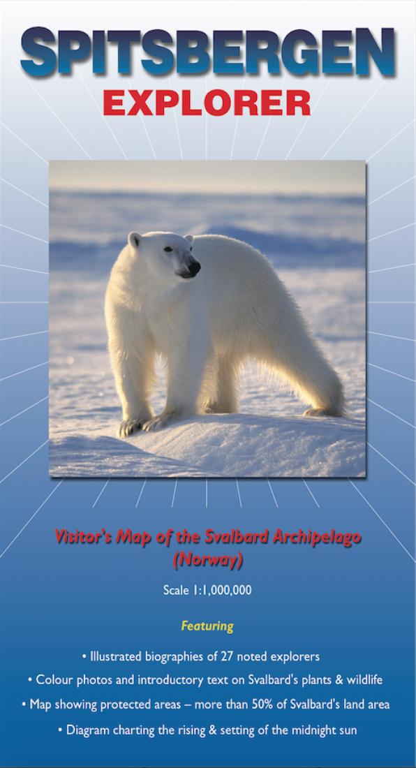
- This map covers the famous Arctic archipelago (named Spitsbergen when discovered by the Dutch in 1596, but now more commonly referred to as Svalbard - the Viking word for 'cold coast'). On one side there is a clear and uncluttered map of the archipelago, with useful annotations; on the reverse there are excellent biographical summaries of 27 noted explorers (including Horatio Nelson who came here as a 14 year old midshipman!) plus brief descriptions and colour photographs of the more common plants, invertebrates, birds and mammals.
- Type: Folded Map
- Subtype: Tourist
- Language: English
- Publication Date: 2018-06-01
- Scale: 1:1,000,000
- Regions Covered: Europe, Scandinavia
- Countries Covered: Norway
- ISBN: 9780953861811
- Folded Size: 5.12" (W) x 9.06" (H)
- Unfolded Size: 18.11" (W) x 29.53" (H)
- Weight: 1.3 oz