1
/
of
1
Hedberg Maps
Southern Minnesota : regional and city maps
Southern Minnesota : regional and city maps
Regular price
$7.95 USD
Regular price
Sale price
$7.95 USD
Unit price
/
per
Shipping calculated at checkout.
Couldn't load pickup availability
- SKU: HED_PP_MN_S_10
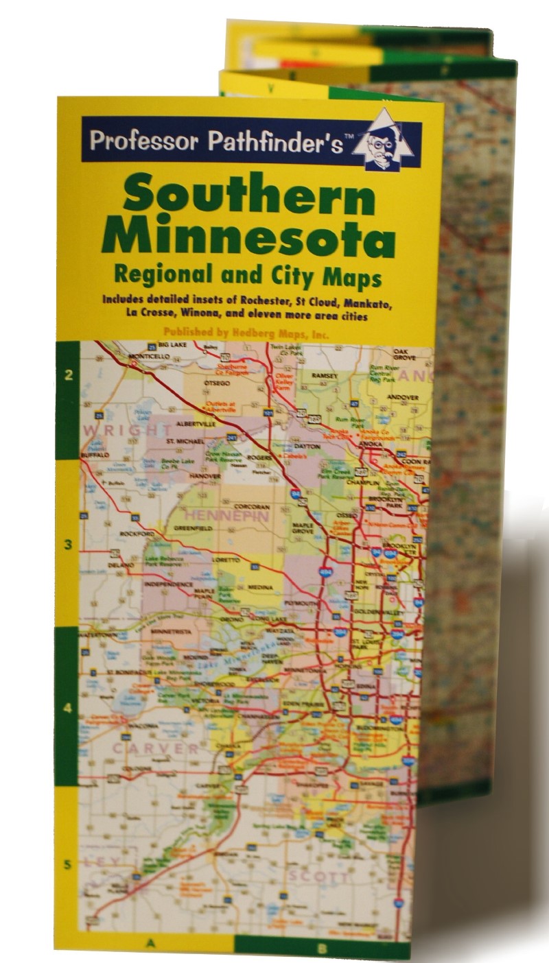
- A useful compact map for the most traveled portion of the state. A detailed and legible highway map covering from Hinckley to the Iowa border is combined with a Twin Cities metro map along with detailed metro insets of 16 other cities: Albert Lea, Austin, Fairmont, Faribault, Hutchinson, La Crosse (WI), Mankato, Marshall, New Ulm, Northfield, Owatonna, Rochester, St Cloud, Willmar, Winona, and Worthington. Indispensable to the outstate driver! Six-panel accordion-style fold for easy open/close. Printed on card stock and UV coated for durability.
- Type: Folded Map
- Subtype: City Maps
- Language: English
- Publication Date: 2010-06-01
- Scale: Scales differ
- Regions Covered: Midwest, North America
- Countries Covered: United States
- States Covered: Minnesota
- ISBN: 9781885508409
- UPC: 791639000409
- Folded Size: 4.33" (W) x 10.24" (H)
- Unfolded Size: 10.24" (W) x 25.59" (H)
- Weight: 1.4 oz


