Raven Maps
Southern California Regional Elevation Tints Fine Art Print Map
Southern California Regional Elevation Tints Fine Art Print Map
Couldn't load pickup availability
- SKU: PODRP_SO_CAL_ELEV_31X22_WA
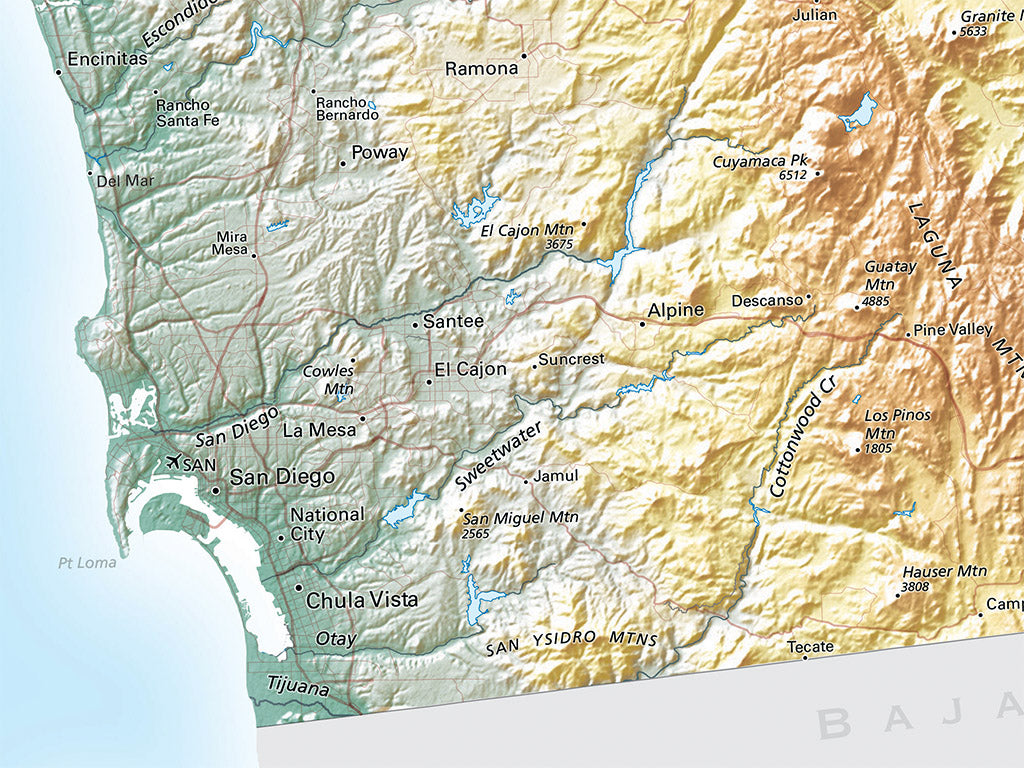
This is an entirely new remake of a title we first published thirty years ago. High-resolution digital elevation data highlights the region’s very active tectonic history: the obvious junction of the San Andreas and Garlock faults at Tejon Pass (4,160') was the site in 1857 of one of the largest earthquakes recorded in the Lower 48.
In the north, this map covers from Morro Bay in the west to Ivanpah Valley in the Mojave Desert in the east. In the south, it covers from Baja California to the Imperial Valley. Our new Southern California map focuses on landforms, with major roads shown in a light color. Significant city and town names are included as useful reference points.
Dimensions: All map dimensions are approximate.
- Type: Flat Map
- Subtype: Wall Art
- Language: English
- Regions Covered: North America, Pacific U.S., Western U.S.
- Countries Covered: United States
- States Covered: California
- UPC: 767020015215
- MPN: southern_california_regional_map
- Folded Size: N/A
- Unfolded Size: 31" (W) x 22" (H)
- Finish: Regular Paper