Raven Maps
Southern California Landforms Fine Art Print Map
Southern California Landforms Fine Art Print Map
Regular price
$95.00 USD
Regular price
Sale price
$95.00 USD
Unit price
per
Shipping calculated at checkout.
Couldn't load pickup availability
- SKU: PODRP_SO_CAL_LF_31X22_WA
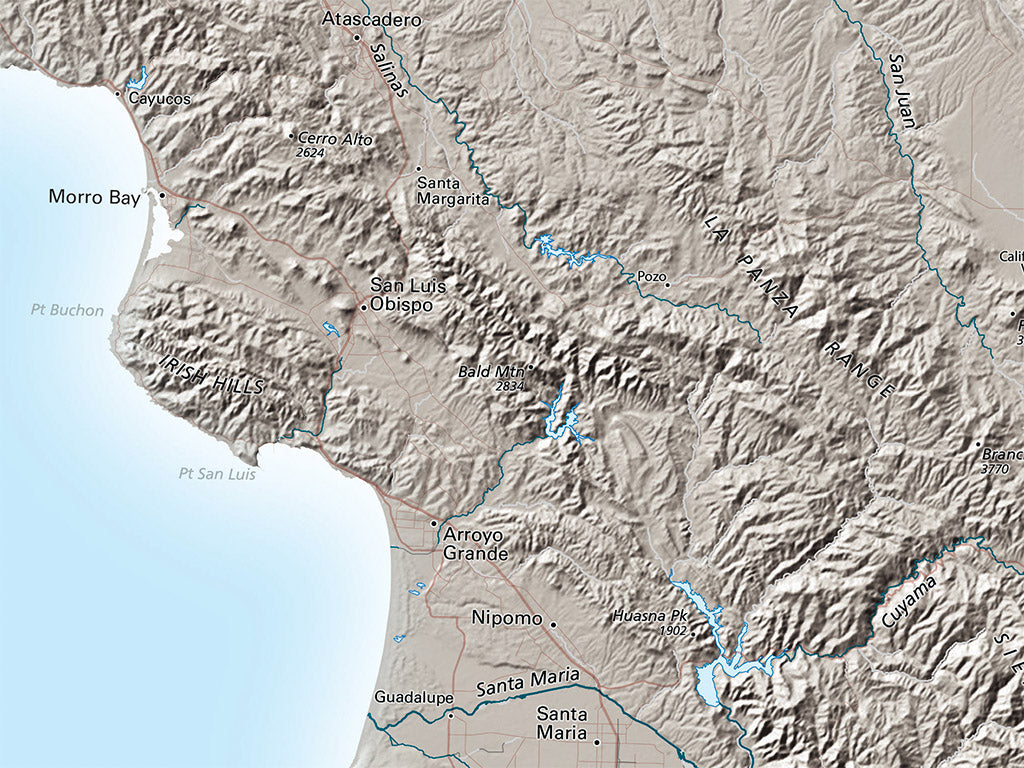
The Southern California Landforms map is something special. Coastal Southern California has been sliding rapidly north and west along the San Jacinto and Elsinore Fault portions of the great San Andreas system for at least 12 million years, throwing up high and extremely steep mountains. The sharply triangular shape of the westernmost Mojave Desert has its apex at the junction of the Garlock and San Andreas Faults, site of the great Tejon earthquake of 1857. Southern California displays its tectonic history in unmistakable form
Dimensions: All map dimensions are approximate.
- Type: Flat Map
- Subtype: Wall Art
- Language: English
- Regions Covered: North America, Pacific U.S., Western U.S.
- Countries Covered: United States
- States Covered: California
- UPC: 767020015239
- MPN: southern-california-landforms-map
- Folded Size: N/A
- Unfolded Size: 31" (W) x 22" (H)
- Finish: Regular Paper