Hema Maps
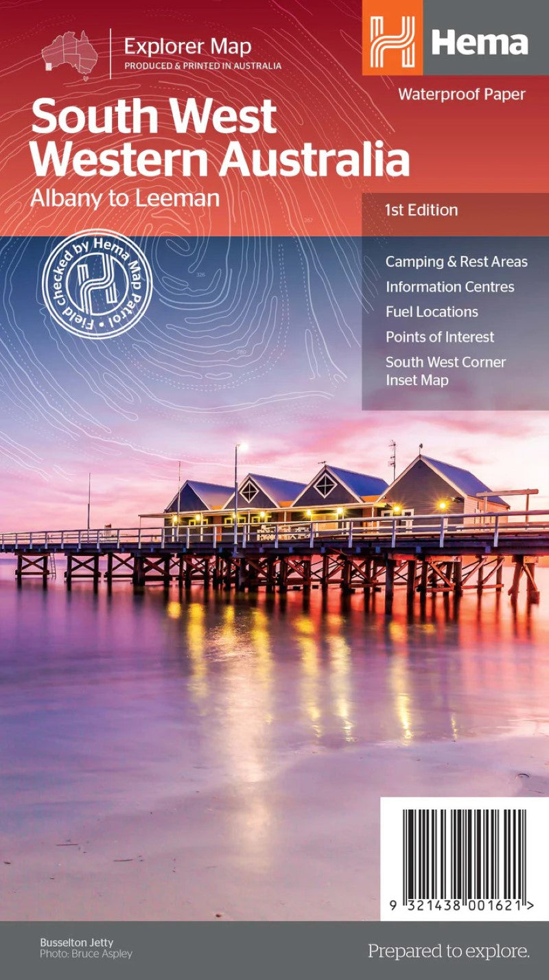
South West Western Australia Explorer Map
South West Western Australia Explorer Map
Regular price
$14.95 USD
Regular price
Sale price
$14.95 USD
Unit price
per
Shipping calculated at checkout.
Low stock
Couldn't load pickup availability
- SKU: HEMA_WA_SW_19
- A regional map for discovering South West Western Australia. On the reverse side of the map are detailed inset maps of Nambung National Park, Avon Valley National Park, Lane Poole Reservation, the South West Corner, Stirling Range National Park, D,Entrecastreaux National Park and Albany Coast. Also included is tourist information for the Coral Coast, Perth, Avon Valley, the Great Southern Region, Peel, Blackwood River Valley, the Southern Forests, the Margaret River region and the Southern Coast.
- Type: Folded Map
- Subtype: Road
- Language: English
- Publication Date: 2019-06-01
- Scale: 1:700,000
- Regions Covered: Australasia, Oceania, Pacific Ocean
- Countries Covered: Australia
- States Covered: Western Australia
- ISBN: 9321438001621
- Folded Size: 5.51" (W) x 9.84" (H)
- Unfolded Size: 39.37" (W) x 27.56" (H)
- Weight: 2.9 oz