Philip's
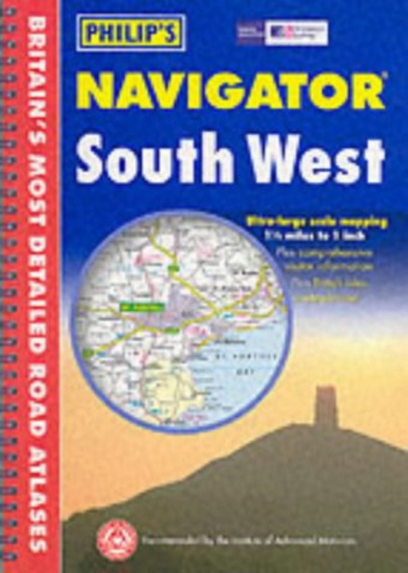
South West Britain Navigator
South West Britain Navigator
Regular price
$24.95 USD
Regular price
Sale price
$24.95 USD
Unit price
per
Shipping calculated at checkout.
Couldn't load pickup availability
- SKU: PHI_GB_SW_AT_3
- A brand new regional atlas featuring Philip's exceptionally largescale and detailed Navigator mapping in an easy-to-handle format. The atlas covers Cornwall, Devon, Dorset, Somerset, Wiltshire and Gloucestershire - and well beyond - and is part of Philip's new series of Navigator regional atlases. The front of the atlas contains a unique 16-page guide to regional leisure with full details of places of interest such as castles, houses, cathedrals and gardens, guides to landscape areas and museums, and listings of a wide variety of activities from abseiling to yachting. There are also useful details of many services that may be needed while travelling, such as tourist information offices and hospitals with casualty departments. The Navigator mapping gives highly detailed coverage at 1.5 miles to 1 inch of the region's road network, including minor country lanes and rural tracks - and even major footpaths - and every junction, roundabout and slip-road is shown in detail. There is an abundance of other detail, including thousands of individually named farms, houses and hamlets. Also shown are airports, airfields, stations, ferries, canals, marinas and a wide range of places of interest.
- Type: Spiral Bound Atlas
- Subtype: Popular/Travel
- Language: English
- Regions Covered: British Isles, Europe
- Countries Covered: United Kingdom
- States Covered: England
- ISBN: 9780540081561
- Folded Size: N/A
- Unfolded Size: 12" (W) x
- Weight: 14 oz