1
/
of
1
Hema Maps
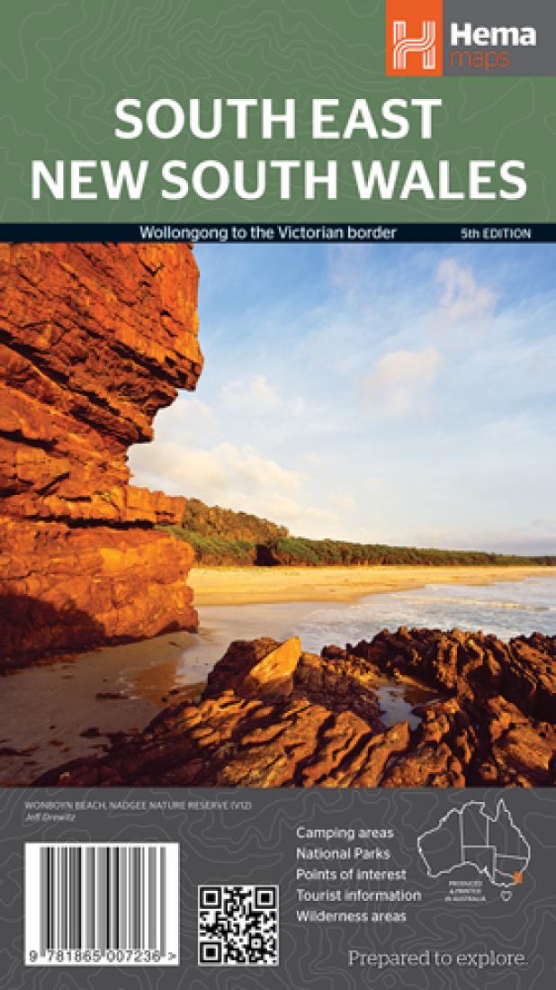
South East New South Wales
South East New South Wales
Regular price
$11.95 USD
Regular price
Sale price
$11.95 USD
Unit price
/
per
Shipping calculated at checkout.
Low stock
Couldn't load pickup availability
- SKU: HEMA_NSW_SE_13
- A regional map of South East New South Wales that includes camping areas and points of interest for touring in the region. On the reverse side of the map is tourist information for Illawarra, Jervis Bay and Shoelhaven, Merimbula and the Sapphire Coast, Batemans Bay and Eurobodalla, the South Highlands, Goulburn region, Hume Highway, Canberra and Queanbeyan, the Tumut region, southern and northern Kosciuszko including Kosciuszko National Park, the Lower Snowy Mountains Highway and the Bombala region. Accredited information centres are listed, as are all the national parks in the region with their respective facilities. Camping areas National parks Points of interest Tourist information Wilderness areas
- Type: Folded Map
- Subtype: Road
- Language: English
- Publication Date: 2013-06-01
- Scale: 1:385,000
- Regions Covered: Australasia, Oceania, Pacific Ocean
- Countries Covered: Australia
- States Covered: New South Wales
- ISBN: 9781865007236
- Folded Size: 5.51" (W) x 9.84" (H)
- Unfolded Size: 39.37" (W) x 27.56" (H)
- Weight: 2.57 oz


