National Geographic Maps
Skyline Boulevard : Trails illustrated : topographic map
Skyline Boulevard : Trails illustrated : topographic map
Regular price
$14.95 USD
Regular price
Sale price
$14.95 USD
Unit price
per
Shipping calculated at checkout.
Couldn't load pickup availability
- SKU: TI_SKYLINE_20
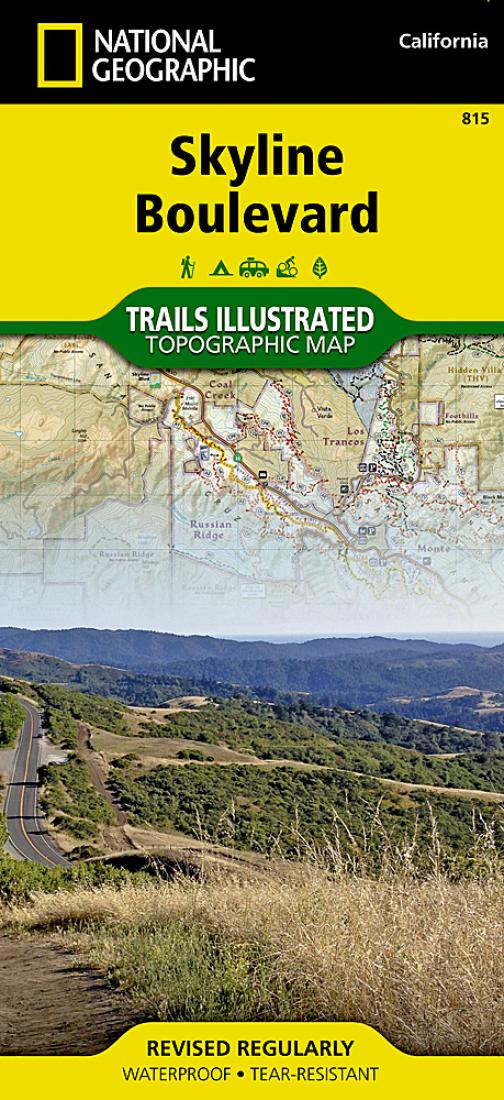
- National Geographic's Trails Illustrated map of California's Skyline Boulevard Parks and Preserves is a two-sided, waterproof map designed to meet the needs of outdoor enthusiasts with unmatched durability and detail. This map was created in conjunction with local land management agencies and is loaded with valuable recreation information. Trails Illustrated maps are expertly researched and frequently updated. The maps are printed in the United States on durable synthetic paper, making them waterproof, tear-resistant, and trail tough-capable of going anywhere you do.
- Type: Folded Map
- Subtype: Park
- Language: English
- Publication Date: 2020-06-01
- Scale: 1:40,000
- Regions Covered: North America, Western U.S.
- Countries Covered: United States
- States Covered: California
- ISBN: 9781566956307
- UPC: 749717012707
- MPN: TI00000815
- Folded Size: 4.33" (W) x 9.45" (H)
- Unfolded Size: 24.8" (W) x 34.65" (H)
- Weight: 3.2 oz