1
/
of
1
Fishing Hot Spots
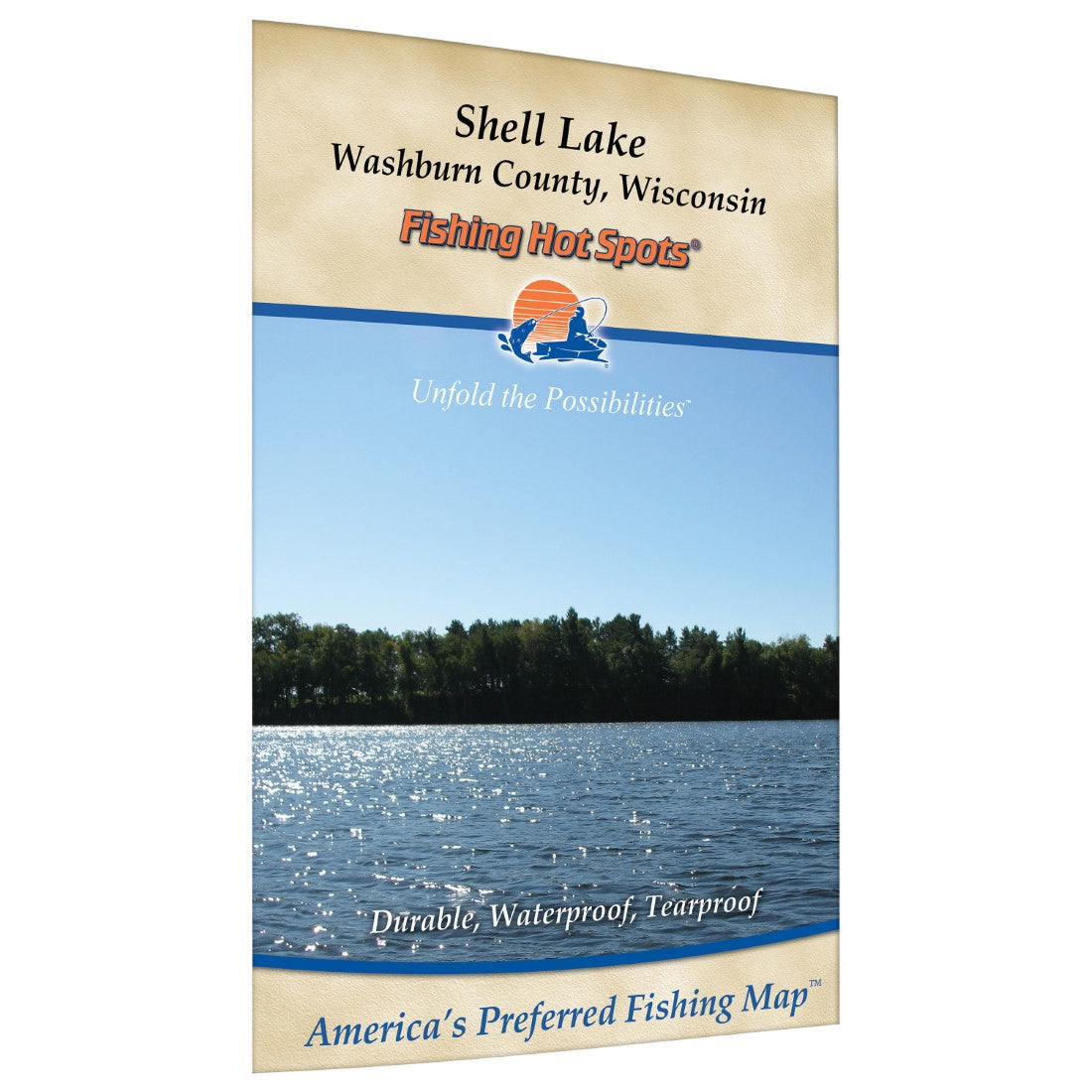
Shell Lake (Washburn Co) Fishing Map
Shell Lake (Washburn Co) Fishing Map
Regular price
$9.95 USD
Regular price
Sale price
$9.95 USD
Unit price
/
per
Shipping calculated at checkout.
Couldn't load pickup availability
- SKU: FHS_SHELL_
- The headwaters of the Sheepscot River, Sheepscot Lake is one of the more popular lakes in central Maine. At 1,215 acres, it has a maximum recorded depth of 140 feet. Sheepscot Lake provides a variety of recreational opportunities for local residents and transients. A recently reconstructed launch area (fall 2002) with ample parking is located on the north shore just off Route 3.Featured Species: Smallmouth Bass, Largemouth Bass, Black Crappie, White Perch, Chain Pickerel Map Features: Waterway Profile, Accesses, Fishery Information, Contour Lines
- Type: Folded Map
- Subtype: Fishing
- Language: English
- Scale: 1:14400
- Regions Covered: Midwest, North America
- Countries Covered: United States
- States Covered: Wisconsin
- UPC: 071365902544
- MPN: G254
- Folded Size: 6" (W) x 9" (H)
- Unfolded Size: 18" (W) x 12" (H)
- Weight: 2 oz


