Rand McNally
Seattle, Washington City Map
Seattle, Washington City Map
Regular price
$9.99 USD
Regular price
Sale price
$9.99 USD
Unit price
per
Shipping calculated at checkout.
Couldn't load pickup availability
- SKU: RM_SEA_25N
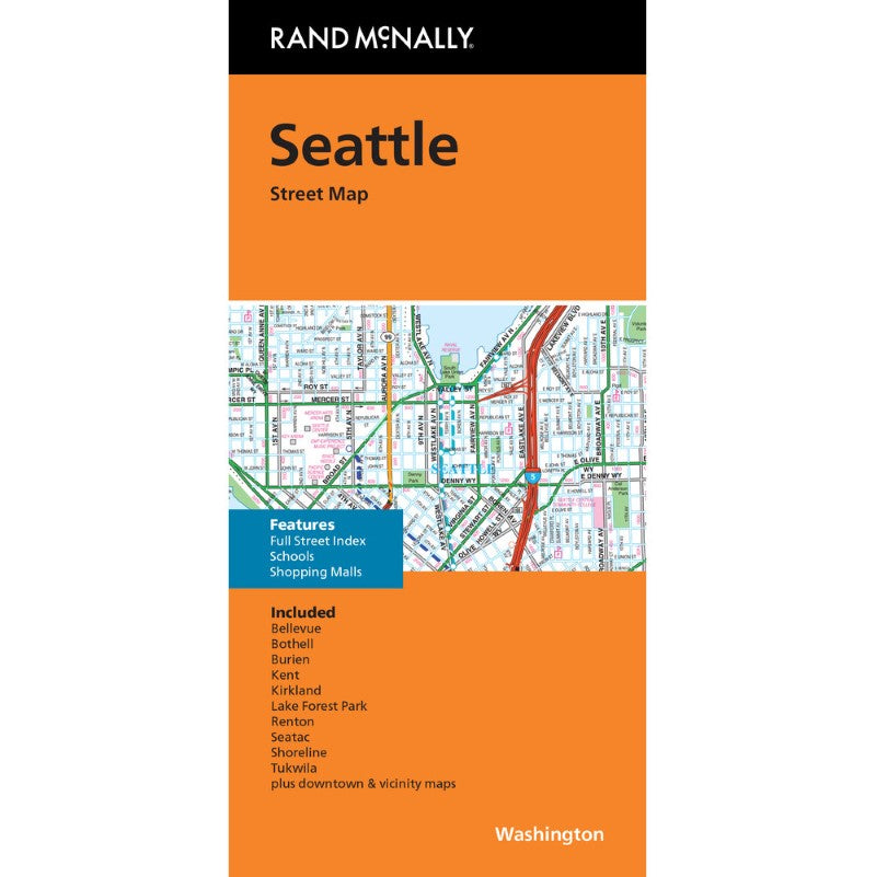
Rand McNally's folded map featuring the streets of Seattle is a must-have for anyone traveling in and around this area of Washington, offering unbeatable accuracy and reliability at a great price. Our trusted cartography shows all Interstate, U.S., state, and county highways, along with a full street index, schools, and shopping malls. You'll see why Rand McNally folded maps have been the trusted standard for years.
- Regularly updated
- Full-color maps
- Clearly labeled Interstate, U.S., state, and county highways
- Indications of parks, points of interest, airports, county boundaries, downtown & vicinity maps
- Easy-to-use legend
- Detailed index
- Convenient folded size
- Copyright 2025
Coverage Area
Communities Included: Bellevue, Bothell, Burien, Kent, Kirkland, Lake Forest Park, Renton, SeaTac, Shoreline and Tukwila- Type: Folded Map
- Subtype: City Maps
- Language: English
- Publication Date: 2025-06-01
- Scale: 1:31680
- Regions Covered: North America, Northwestern U.S.
- Countries Covered: United States
- States Covered: Washington
- ISBN: 9780528027710
- UPC: 070609024400
- Folded Size: 4.33" (W) x 9.06" (H)
- Unfolded Size: 39.37" (W) x 27.17" (H)
- Weight: 2.1 oz