1
/
of
1
Fishing Hot Spots
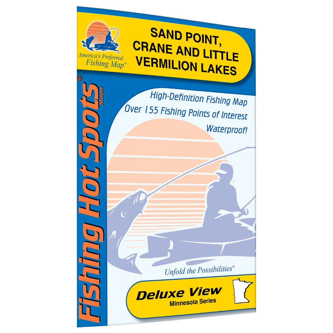
Sand Point, Crane, and Little Vermilion Lakes Fishing Map
Sand Point, Crane, and Little Vermilion Lakes Fishing Map
Regular price
$14.95 USD
Regular price
Sale price
$14.95 USD
Unit price
/
per
Shipping calculated at checkout.
Couldn't load pickup availability
- SKU: FHS_SAND_POINT_
- Crane and Sand Point and Little Vermilion Lakes make up the southern portion the chain of lakes that stretch along the International Border between Minnesota and Canada. These lakes are the smallest lakes in the chain, but they are easy to access and a little more manageable then the larger lakes. Crane Lake sits entirely inside the boundary of Minnesota, while the International Border travels through the middle of Little Vermilion and Sand Point Lakes Visitors to these three lakes not only get fantastic scenery with miles of undeveloped shoreline to see, but find a world class fishery for walleye, northern pike smallmouth bass and crappie. Secondary species such as sauger, perch, largemouth bass, bluegill and muskie are also available to anglers. Abundant structure can be found throughout the lake. Areas to focus on are rock reefs, weedy bays, points, islands, saddles and areas of current. Visitors can enjoy viewing shear rock cliffs, waterfalls, wildlife and even ancient Indian pictographs etched on rock walls along the Namakan Narrows. Featured Species: Walleye, Northern Pike, Smallmouth Bass, Crappie. Map Features: Lake Profile Fishery Information Fishing Tips and Techniques 3 Accesses with Driving Directions 99 Proven Fishing Areas Marked
- Type: Folded Map
- Subtype: Fishing
- Language: English
- Scale: 1:25200
- Regions Covered: Midwest, North America
- Countries Covered: United States
- States Covered: Minnesota
- UPC: 071365003920
- MPN: M392
- Folded Size: 6" (W) x 9" (H)
- Unfolded Size: 24" (W) x 36" (H)
- Weight: 2 oz


