1
/
of
1
USSR Ministry of Defense
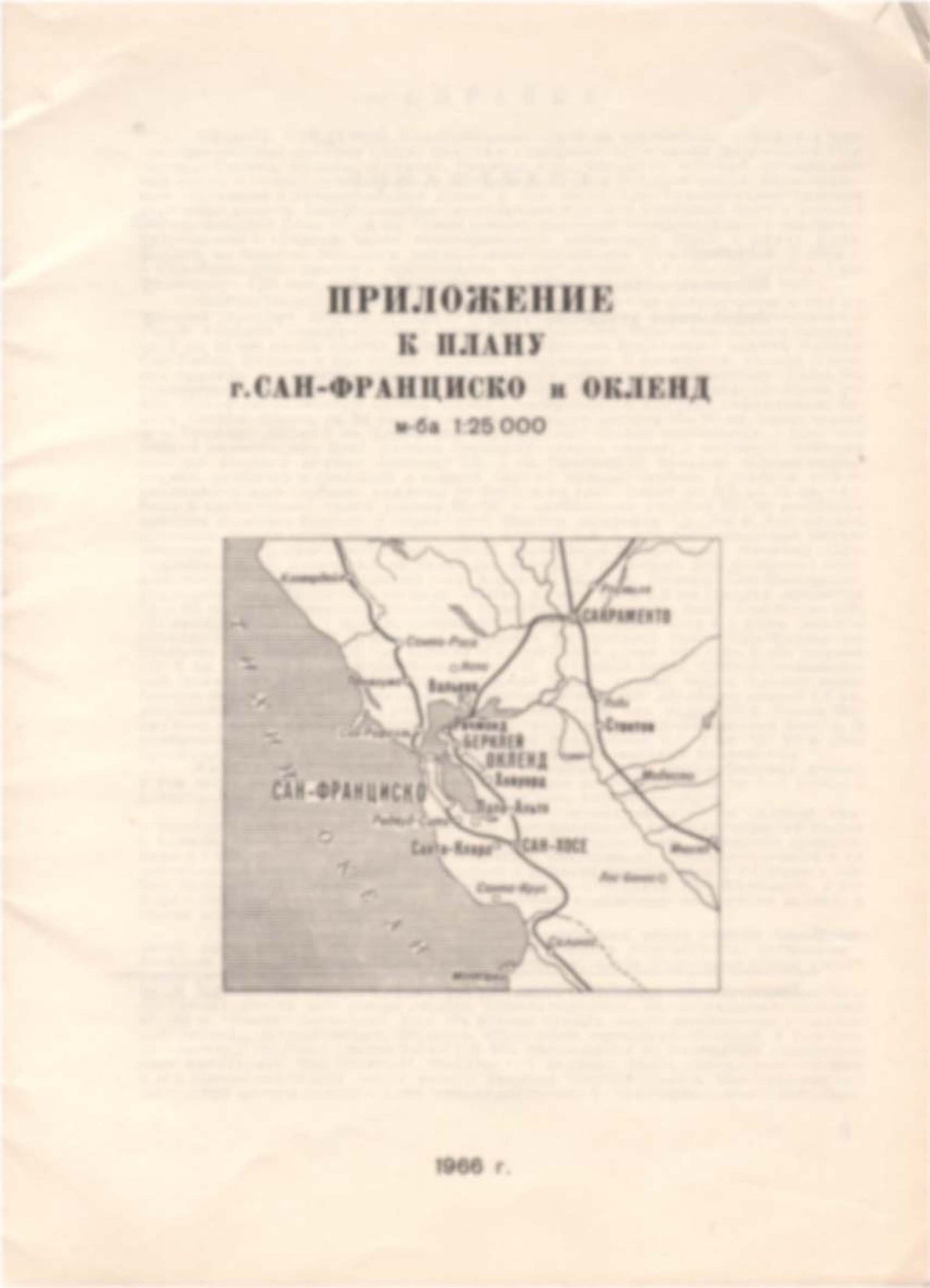
San Francisco, Oakland CA Appendix (USA) - Soviet Military City Plans
San Francisco, Oakland CA Appendix (USA) - Soviet Military City Plans
Regular price
$49.95 USD
Regular price
Sale price
$49.95 USD
Unit price
/
per
Shipping calculated at checkout.
Share
Couldn't load pickup availability
- SKU: SUAA-SAN_FRANCISCOAPP-P
- During the Cold War and before easy access to high-resolution satellite imagery, The Soviet Military was secretly mapping the entire world. These aesthetically striking maps are beautiful down to the last detail and fantastic wall art and until now, have rarely been viewed or available to outsiders. This series has been covered by Wired Magazine and Greg Miller in his book, "All Over the Map: A Cartographic Odyssey". This map is part of the Soviet City Plans Series presented by East View, which has the largest collection of Soviet Military City Plans in the world. The Soviet Military City Plan(s) of San Francisco, Oakland CA Appendix (USA) is one in a series of highly detailed topographic city maps developed by the USSR Ministry of Defense during the Cold War era. These collectable, high resolution print-on-demand editions are delivered on premium, acid-free, matte paper. This item is sheet number 7 in a set of 7 sheet(s) for San Francisco, Oakland CA Appendix Populated Places: Berkeley Division, Canada De Raymundo, City of Alameda, City of Burlingame, City of Daly City, City of Hayward, City of Mill Valley, City of Orinda, City of Pleasant Hill, City of San Bruno, City of Walnut Creek, Corral De Tierra, Corte De Madera Del Presidio, Feliz, Laguna De Los Palos Colorados, Richmond-Presidio-Marina Division, Ross Valley Division, San Antonio, San Antonio, San Francisco County, San Lorenzo, San Lorenzo, San Mateo County, Town of Corte Madera, Town of Ross Military and Defense: Coast Guard Station Oakland, Coast Guard Station San Fransisco, Fort Baker Military Reservation, Hunters Point Annex, Mill Valley Air Force Station Parks and Reservations: Blackies Pasture, Double Bowknot, Faculty Glade, Lindley Meadow, Marx Meadows, San Leandro Valley, Van Wyck Meadow, Wickander Flat Landmarks and Natural Features: Adams Point, Adobe Point, Albany Hill, Alcatraz Island, Angel Island, Aramai Point, Bair Island, Baker Beach, Bald Hill, Bay Farm Island, Bay View Hill, Belmont Hill, Belvedere Island, Berkeley Hills, Berkeley Point, Bernal Heights, Bird Island, Bird Island, Bird Island, Black Head Rock, Black Hills, Black Mountain, Black Point, Bluff Point, Bolsa De Encinal Water Bodies: Bar Channel, Bearinda Cove, Brooklyn Basin, Ford Channel, Golden Gate, Half Moon Bay, Horseshoe Bay, India Basin, Jewel Lake, Laguna Honda, Lake Cascade, Lake Merritt, Lash Lighter Basin, Little John Cove, Oakland Outer Harbor, Point Potrero Reach, Raccoon Strait, Reservoir Number Two, San Francisco Bay, San Leandro Bay, Sunset Reservoir, Thirtyninth Avenue Reservoir, Twin Peaks Reservoir, Water Dog Lake, Winslow Cove
- Type: Map
- Subtype: City Plan
- Language: Russian
- Publication Date: 1966-06-01
- Scale: 1:25,000
- Regions Covered: North America, Western U.S.
- Countries Covered: United States
- States Covered: California
- MPN: SAN_FRANCISCOAPP
- Folded Size: N/A
- Unfolded Size: 7.9" (W) x 5.7" (H)
- Weight: 4.8 oz


