Bureau of Land Management
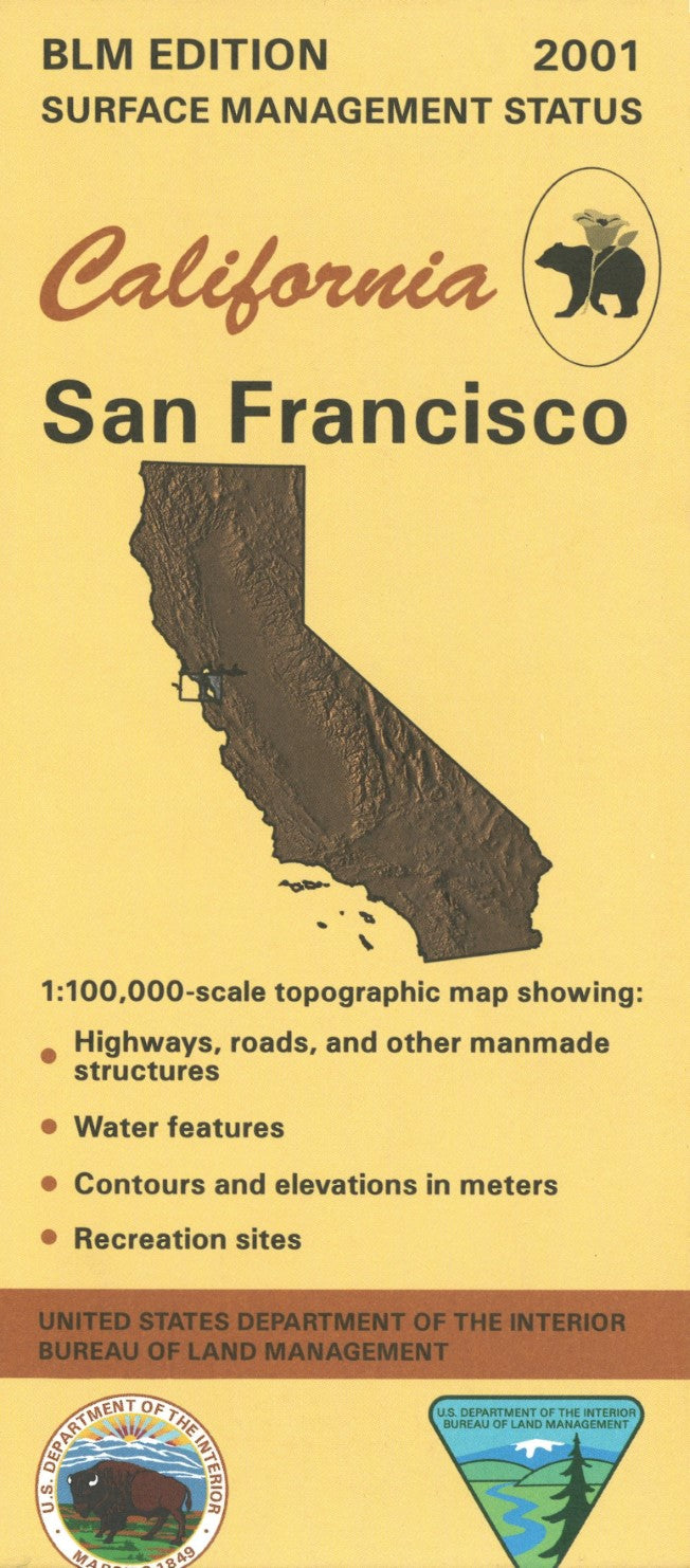
San Francisco, California Surface Management Map
San Francisco, California Surface Management Map
Couldn't load pickup availability
- SKU: BLM_SAN_FR_1
Navigate the diverse and iconic landscapes of San Francisco, California, with the Bureau of Land Management’s Surface Management Topographic Map. This detailed map provides essential information for outdoor enthusiasts, land managers, and anyone exploring the San Francisco area, offering a clear view of the region’s topography, land ownership boundaries, and surface management designations.
The map includes precise elevation contours, roads, trails, water features, and key landmarks, helping you easily navigate the area’s unique terrain, from the urban cityscape to the nearby coastal cliffs and parklands. It also highlights federal, state, and private land ownership, providing valuable insight into land access, usage restrictions, and regulations for public lands.
This topographic map is built to withstand the elements, ensuring it remains reliable for outdoor activities and land management tasks. Whether you’re exploring the Golden Gate National Recreation Area, hiking in nearby hills, or conducting land use research, the San Francisco Surface Management Topographic Map is the perfect companion for anyone working or adventuring in this dynamic region.
- Type: Folded Map
- Subtype: Land Use / Land Cover
- Publication Date: 2001-01-01
- Scale: 1:100,000
- Regions Covered: North America, Pacific U.S., Western U.S.
- Countries Covered: United States
- States Covered: California
- ISBN: 9780607974195
- MPN: 44606
- Folded Size: 4" (W) x 9" (H)
- Unfolded Size: 44" (W) x 27" (H)
- Weight: 2.4 oz