BeenThere
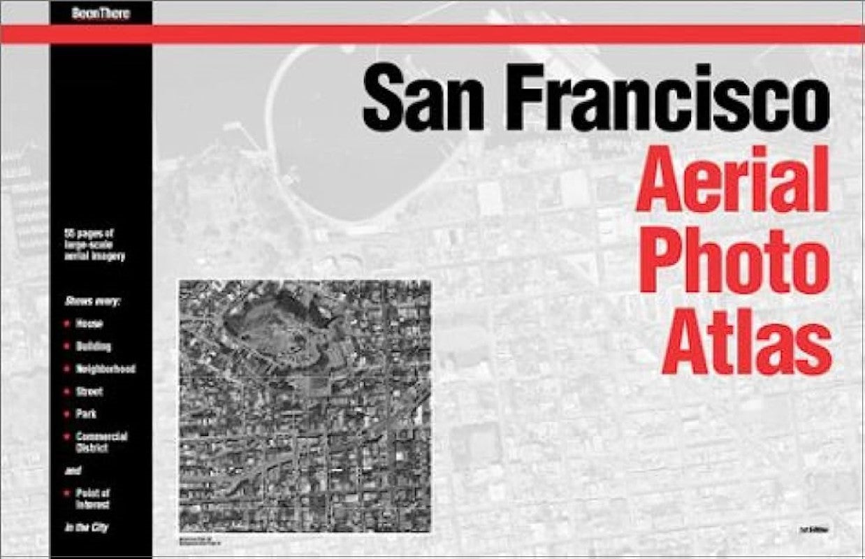
San Francisco Aerial Photo Atlas
San Francisco Aerial Photo Atlas
Regular price
$50.00 USD
Regular price
Sale price
$50.00 USD
Unit price
per
Shipping calculated at checkout.
Couldn't load pickup availability
- SKU: BT_SAN_FR_AT_98
- San Francisco Aerial Photo Atlas provides endless hours of armchair exploration and discovery. It deepens your understanding of San Francisco's geography and land use patterns and serves as a stunning visual reminder of the city's natural beauty and worldwide appeal. This first edition includes index photos, main plates, streets and points of interest index. Features 55 pages of large scale aerial imagery around the city. A 25 x 11cm folded downtown San Francisco map included featuring aerial photo guide and categorical index.
- Type: Paperback Atlas
- Subtype: Popular/Travel
- Language: English
- Scale: Scales differ
- Regions Covered: North America, Western U.S.
- Countries Covered: United States
- States Covered: California
- ISBN: 9780965599122
- Folded Size: N/A
- Unfolded Size: 11.02" (W) x 17.32" (H)
- Weight: 27.2 oz