1
/
of
1
USSR Ministry of Defense
San Diego, CA 1 (USA) - Soviet Military City Plans
San Diego, CA 1 (USA) - Soviet Military City Plans
Regular price
$49.95 USD
Regular price
Sale price
$49.95 USD
Unit price
/
per
Shipping calculated at checkout.
Share
Couldn't load pickup availability
- SKU: SUAA-SAN_DIEGO1-P
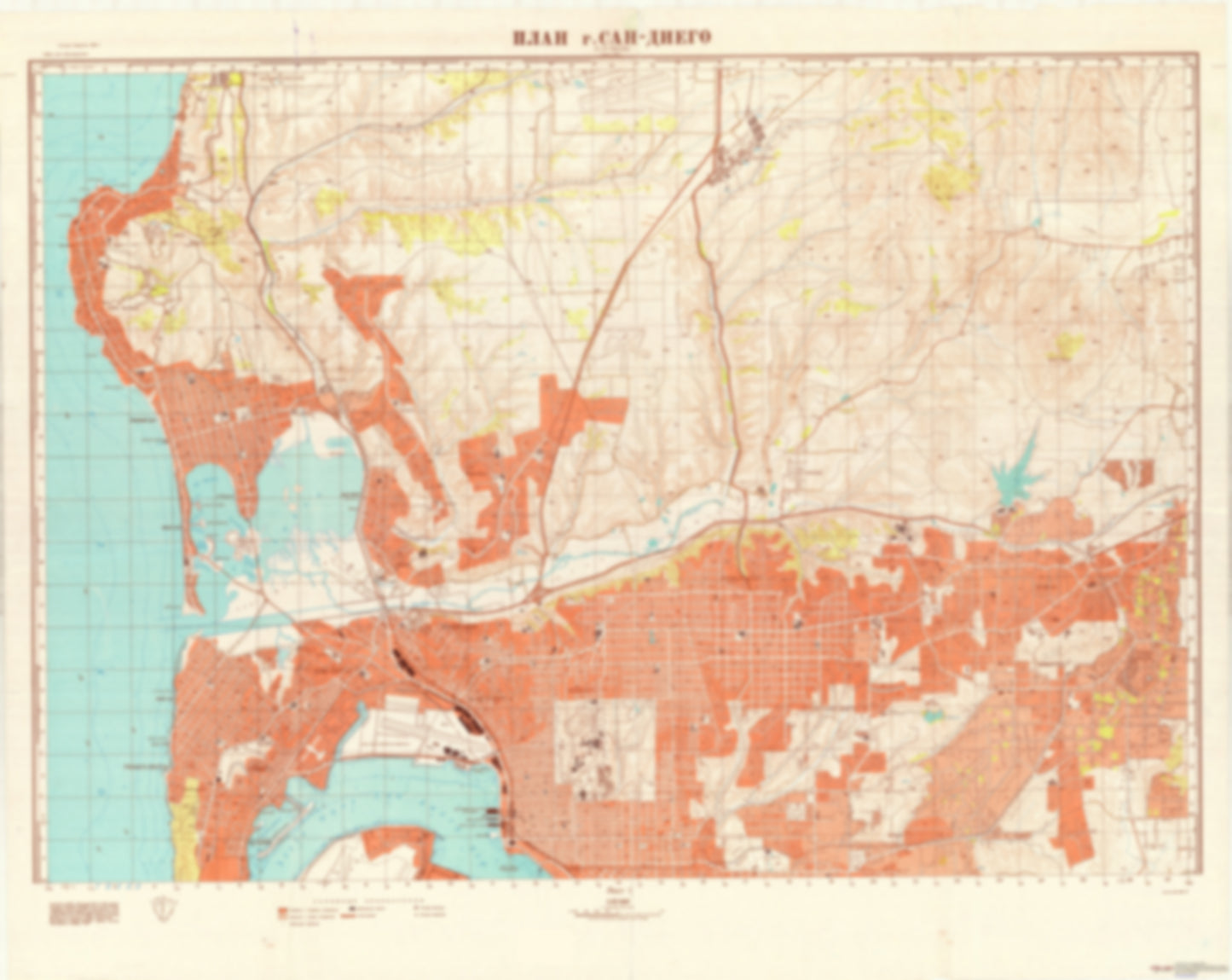
- During the Cold War and before easy access to high-resolution satellite imagery, The Soviet Military was secretly mapping the entire world. These aesthetically striking maps are beautiful down to the last detail and fantastic wall art and until now, have rarely been viewed or available to outsiders. This series has been covered by Wired Magazine and Greg Miller in his book, "All Over the Map: A Cartographic Odyssey". This map is part of the Soviet City Plans Series presented by East View, which has the largest collection of Soviet Military City Plans in the world. The Soviet Military City Plan(s) of San Diego, CA 1 (USA) is one in a series of highly detailed topographic city maps developed by the USSR Ministry of Defense during the Cold War era. These collectable, high resolution print-on-demand editions are delivered on premium, acid-free, matte paper. This item is sheet number 1 in a set of 2 sheet(s) for San Diego, CA Populated Places: City of La Mesa, City of Lemon Grove, City of San Diego, Ex Mission San Diego, Mission San Diego, Pueblo Lands of San Diego, Pueblo Lands of San Diego, San Diego Division Military and Defense: Marine Corps Air Station Miramar, Marine Corps Recruit Depot San Diego, Naval Air Station San Diego, Naval Base San Diego, Naval Medical Center San Diego Parks and Reservations: Dutch Flat Landmarks and Natural Features: Alligator Rock, Bahia Point, Bird Rock, Boomer Beach, Childrens Pool Beach, Cowles Mountain, Crown Point, Crown Point Shores, Dead Mans Point, Dog Beach, East Ski Island, El Carmel Point, Enchanted Isle, False Point, Fiesta Island, Fisherman Point, Fortuna Mountain, Goldfish Point, Harbor Island, Hob Nob Hill, Hospitality Point, Inner Crown Point, La Jolla Mesa, La Jolla Shores Beach, La Playa Water Bodies: Americas Cup Harbor, Bonita Cove, Chollas Reservoir, Claibornes Cove, De Anza Cove, Del Cerro Reservoir, Enchanted Cove, Entrance Channel, Fiesta Bay, Fishermans Channel, Hidden Anchorage, Hollis Lake, La Jolla Bay, La Jolla Cove, Leisure Lagoon, Mariners Basin, Mission Bay, Mission Bay Channel, Murray Reservoir, North Cove, North San Diego Bay, Pacific Passage, Perez Cove, Quivira Basin, Rose Inlet, Sail Bay, San Juan Cove, Santa Barbara Cove, Santa Clara Cove, Santee Recreational Lakes, Smiley Lagoon, South Cove
- Type: Map
- Subtype: City Plan
- Language: Russian
- Publication Date: 1965-06-01
- Scale: 1:25,000
- Regions Covered: North America, Western U.S.
- Countries Covered: United States
- States Covered: California
- MPN: SAN_DIEGO1
- Folded Size: N/A
- Unfolded Size: 45.6" (W) x 36.3" (H)
- Weight: 4.8 oz


