Tom Harrison Maps
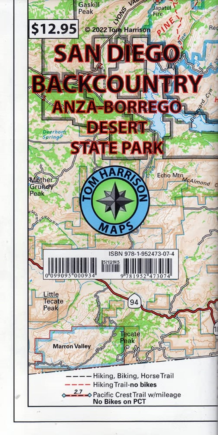
San Diego Backcountry, California
San Diego Backcountry, California
Regular price
$9.95 USD
Regular price
Sale price
$9.95 USD
Unit price
per
Shipping calculated at checkout.
Couldn't load pickup availability
- SKU: TH_SD_ANZA_22
- Folded topo recreational map of San Diego backcountry. Features color-coded symbols and trails, mileages between trail junctions, latitude/longitude, UTM grids, contour lines, vegetation, and elevations at trail junctions. All maps printed on waterproof and tear resistant material. Includes Anza Borrego State Park, Cleveland National Forest, Cuyamaca State Park and the Southernmost portion of the Pacific Crest Trail.
- Type: Folded Map
- Subtype: Hiking
- Language: English
- Publication Date: 2022-06-01
- Scale: 1:125,000
- Regions Covered: North America, Western U.S.
- Countries Covered: United States
- States Covered: California
- ISBN: 9781952473074
- Folded Size: 4.25" (W) x 7.5" (H)
- Unfolded Size: 35" (W) x 22" (H)
- Weight: .1 lb