1
/
of
1
Freytag & Berndt
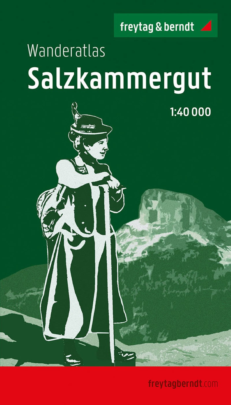
Salzkammergut, Wanderatlas 1:40.000 = Salzkammergut, hiking atlas 1:40,000
Salzkammergut, Wanderatlas 1:40.000 = Salzkammergut, hiking atlas 1:40,000
Regular price
$25.95 USD
Regular price
Sale price
$25.95 USD
Unit price
/
per
Shipping calculated at checkout.
Low stock
Couldn't load pickup availability
- SKU: FB_WA_SK_AT_21
- The Salzkammergut Wanderatlas offers 40 selected hikes with hiking maps for the entire region in 1: 40,000 scale. The Salzkammergut is a real hiking and mountaineering paradise for both families and for experienced mountain feed. It enchants through impressive rock formations, adventurous clams and gorges, thunderous waterfalls, wide -ranging cave systems, crystal clear lakes, highly sensitive bogs and paradise alpine pastures. In addition to simple walks and maritime roundings, promising panoramic tours, idyllic river and alpine hikes, demanding summit climbs and even high mountain hikes with climbing passages are presented in this hiking guide. Information about the Wanderatlas Salzkammergut 40 varied hikes. The entire area is shown in a comprehensive map with 48 sheets of 1:40,000. The detailed directions are supplemented by height profiles, short information and map sections. GPX tracks are available for download. Many information worth knowing is presented at the beginning of each chapter. For our hiking atlas, we chose 40 of the most beautiful routes that are spread over the eight tourism regions in the Salzkammergut. After a detailed regional overview, we start in the historic Dachstein Salzkammergut, turn to the Ausseerland and make a detour to the imperial city of Bad Ischl. Via the fabulous Wolfgangsee with its dreamlike mountain backdrop, we come to the gates of the festival town of Salzburg in the fuschlsee region before we go to the Tourismus regions Mondsee-Trensee and Atttersee-Eattergau in a eastern direction and with the Traunsee-Almtal region, the easternmost “Entry gym “Complete the Salzkammergut. Long hiking trails in the Salzkammergut next to the path of the book, the Salzalpensteig and Josefweg, the Salzkammergut Bergesen Trail has also found its way into these hiking atlas and is shown in more detail in a separate chapter. The 20 classic stages are supplemented by the alpine and the regional stages, which makes the long -distance hiking trail a varied experience for all skill levels. Popular excursion destinations in the Salzkammergut No less attractive is the diverse offer away from the hiking trails. For varied hours: museums (e.g. Museum Mondsee, Gustav Klimt-Zentrum, World Heritage Museum Hallstatt) Schauerbühen (e.g. Erlachmühle, Gmundner Keramik Manufaktur) salt mines (e.g. salzwelten Salzburg-Hallin, Hallstatt, Altaussee) Boulder and climbing halls, climbing gardens summer tobogganing (e.g. Grünberg -Frash) Thermes (e.g. Salzkammergut-Therme Bad Ischl, Grimmingingherme) Public bathing spots leisure parks (e.g. Abarena, Urgewald adventure park) wildlife parks (e.g. Kleefeld, Cumberland Wildpark Grünau) The highlights in the event calendar also include the Ausseer Carnival, the Kaiserage in Bad Ischl and numerous cultural events, such as the Lehár Festival or the Attergau cultural summer. Top experiences Even outdoor enthusiasts are not neglected in the Salzkammergut. In addition to (guided) via ferrata, mountain bike, Seekajak, canoe and canyoning tours, cave tours (e.g. in the mammoth cave or in the giant ice cave) and cave trekking tours (e.g. in the Koppenbrüller cave) are also on the program. If you want to take it a little more comfortably, explore the Traunsee, the Wolfgangsee, the Attersee, the Mondsee, the Grundlsee or Lake Grundlsee by ship or spend relaxed moments on a ride on the loft or Zille on Toplitzsee or on Lake Hallstätter.
- Type: Paperback Guide
- Subtype: Hiking Guides
- Language: German
- Publication Date: 2009-09-20
- Scale: 1:40000
- Regions Covered: Central Europe, Europe
- Countries Covered: Austria
- ISBN: 9783707919226
- MPN: WA SK
- Folded Size: 4.72" (W) x 8.25" (H)
- Unfolded Size: 4.72" (W) x 8.25" (H)
- Weight: 4.23 oz


