Freytag & Berndt
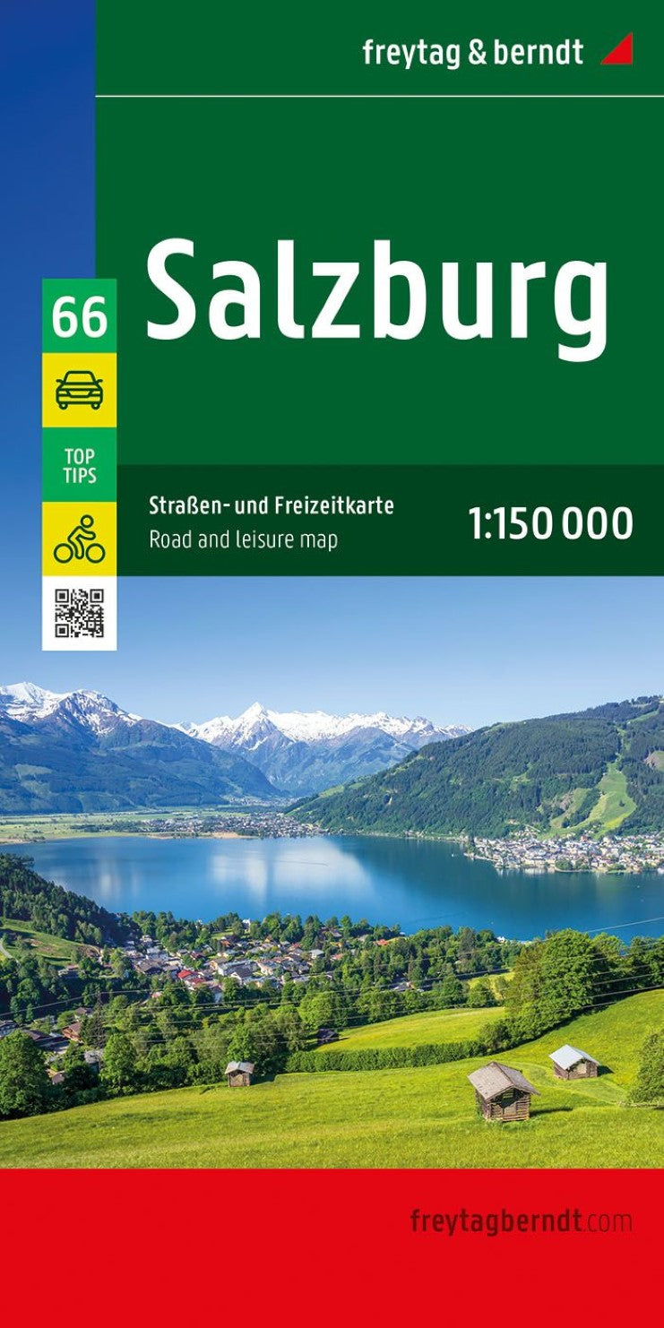
Salzburg Road & Leisure Map 1:150,000 - Austria Map Series, #66
Salzburg Road & Leisure Map 1:150,000 - Austria Map Series, #66
Couldn't load pickup availability
- SKU: FB_SALZBURG_66_25
Salzburg Road & Leisure Map by Freytag & Berndt – Navigate with Confidence
Perfect for road trips, motorcycle tours, or camper van adventures, the Freytag & Berndt Salzburg Road and Leisure Map offers a detailed view of the Salzburg region at a 1:150,000 scale. Whether you're exploring charming alpine villages or scenic bike trails, this map is designed to guide you every step of the way.
Key Features:
Comprehensive road network, ideal for cars, motorbikes, and RVs
Cycling routes and distance indicators clearly marked
Tourist attractions and points of interest noted throughout the map
Campsites and RV parking areas included for easy trip planning
City maps of 9 towns, including Salzburg, Radstadt, and Bad Gastein
Place index with postal codes
Bonus Info Guide with top regional highlights
Multilingual sightseeing guide (German, English, French, Italian) on the back
Unfolded: approx. 122 x 87 cm
Printed in Austria
This map is Sheet 66 of the 8-part Freytag & Berndt Austria Map Series, which covers the entire country:
Sheet 11: Lower Austria
Sheet 22: Upper Austria
Sheet 33: Burgenland
Sheet 44: Styria
Sheet 55: Carinthia
Sheet 66: Salzburg
Sheet 77: Tyrol
Sheet 88: Vorarlberg
With its high-quality cartography and practical layout, the Salzburg map is a trusted tool for navigation and discovery—ideal for travelers who want to make the most of their Austrian adventure.
- Type: Folded Map
- Subtype: City Maps
- Language: English, French, German, Italian
- Publication Date: 2025-04-30
- Scale: 1:150000
- Regions Covered: Central Europe, Europe
- Countries Covered: Austria
- ISBN: 9783707923919
- MPN: OER 66-25
- Folded Size: 5.11" (W) x 10.02" (H)
- Unfolded Size: 48" (W) x 34" (H)
- Weight: 6.35 oz