Bureau of Land Management
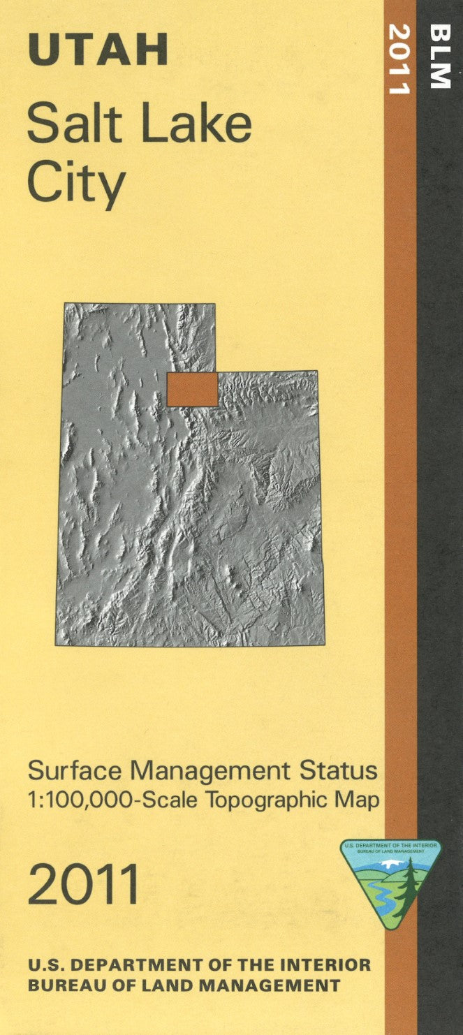
Salt Lake City, Utah Surface Management Map
Salt Lake City, Utah Surface Management Map
Couldn't load pickup availability
- SKU: BLM_SLC_11
Explore the vibrant and diverse landscapes surrounding Salt Lake City, Utah, with the Bureau of Land Management’s Surface Management Topographic Map. This detailed and accurate map is a vital tool for outdoor enthusiasts, land managers, and anyone navigating the area, providing a comprehensive view of topographic features, land ownership boundaries, and surface management designations around Salt Lake City.
Featuring precise elevation contours, roads, trails, water features, and notable landmarks, this map makes it easy to explore the region’s varied terrain—from urban areas to the rugged foothills and surrounding wilderness. It also clearly marks federal, state, and private land ownership, providing essential information for understanding land access, usage restrictions, and public land regulations.
This topographic map is built to withstand outdoor conditions, ensuring it will remain reliable during your adventures or land management tasks. Whether you’re planning a hiking trip, conducting research, or working on land management projects, this map is the perfect companion for navigating the Salt Lake City area with confidence.
- Type: Folded Map
- Subtype: Land Use / Land Cover
- Publication Date: 2011-01-01
- Scale: 1:100,000
- Regions Covered: Central U.S., North America
- Countries Covered: United States
- States Covered: Utah
- ISBN: 9781411332089
- MPN: 102482
- Folded Size: 4" (W) x 9" (H)
- Unfolded Size: 44" (W) x 27" (H)
- Weight: 2.4 oz