Valsts zemes dienests
Saldus Pilseta : Latvijas Republikas Topografiska Karte
Saldus Pilseta : Latvijas Republikas Topografiska Karte
Regular price
$9.95 USD
Regular price
Sale price
$9.95 USD
Unit price
per
Shipping calculated at checkout.
Low stock
Couldn't load pickup availability
- SKU: VZD_10T_SALDUS_2
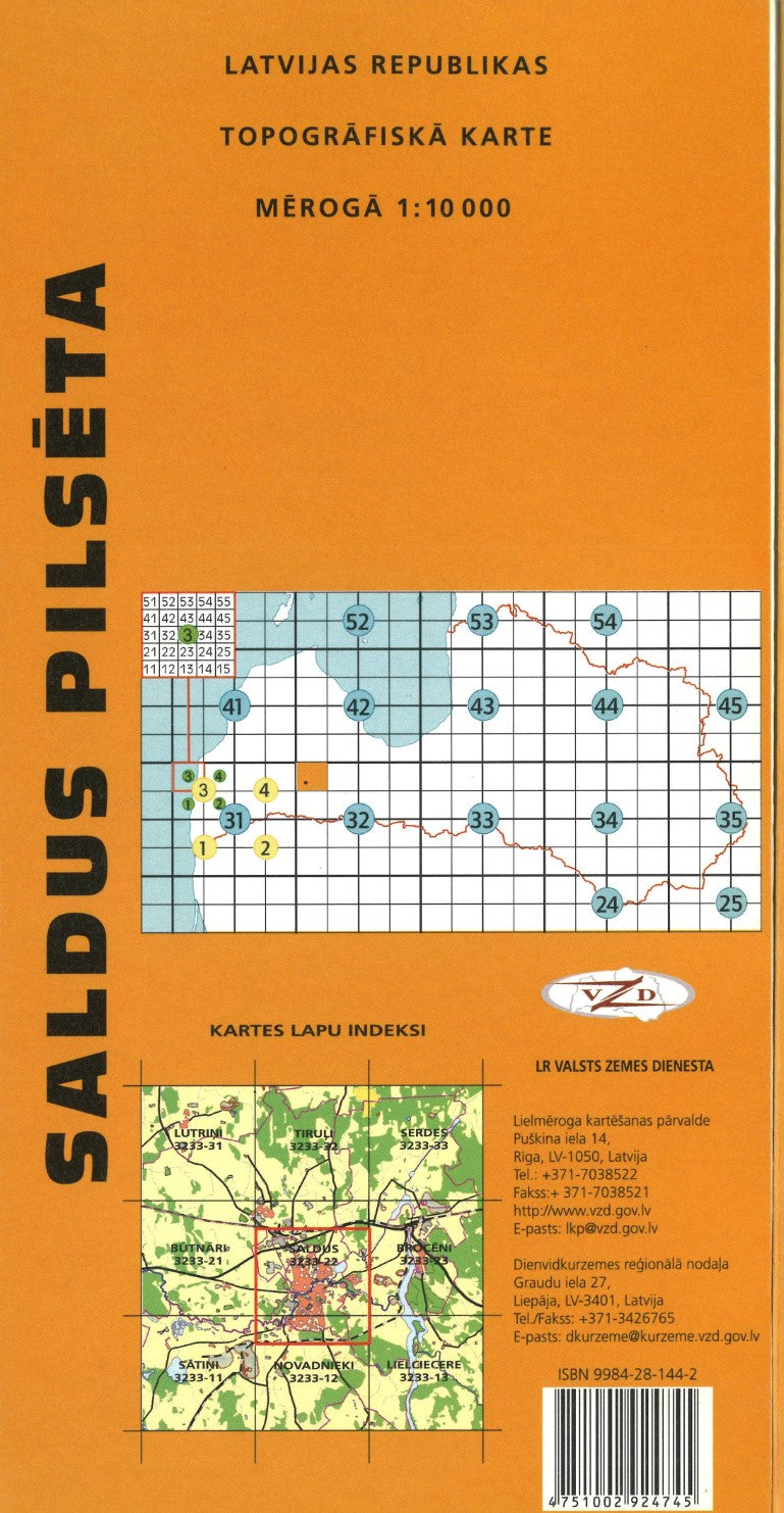
- This is a special sheet of a series of 1:10,000 topographic maps covering Latvia. Instead of following the grid, it covers the city of Saldus Pilseta. It shows relief by contours at 10-meter intervals plus supplementary countours. Detailed roads, hydrography, and buildings. In Latvian only.
- Type: Folded Map
- Subtype: General Topographic
- Language: Latvian
- Publication Date: 2002-06-01
- Scale: 1:10,000
- Regions Covered: Baltics, Eastern Europe, Europe
- Countries Covered: Latvia
- ISBN: 4751002924745
- Folded Size: 5.5" (W) x 10.75" (H)
- Unfolded Size: 27" (W) x 21.75" (H)
- Weight: 2 oz