Fishing Hot Spots
Sakakawea - Sand Creek Bay to Deep Water Wildlife Area
Sakakawea - Sand Creek Bay to Deep Water Wildlife Area
Couldn't load pickup availability
- SKU: FHS_SAK_SAN_
Lake Sakakawea is the 3rd largest reservoir in the United States. The lake was created to stem the flooding on the Missouri River and to provide an energy source for the area around the lake. The Garrison Dam was started by the Army Corps of Engineers in the 1940's and the dam was finished in the 1950's. The lake averages between 2- and 3- miles in width and is approximately 6- miles wide at its widest point. The lake was named after Sacagawea, a Shoshone Indian woman, who helped Lewis and Clark in their adventure to scout the Louisiana Purchase. Lake Sakakawea is a very popular fishing destination across the country. Due to the size of the lake fishing can be tough. But, when you locate the fish, the fishing can be outstanding. Hiring a guide is suggested.
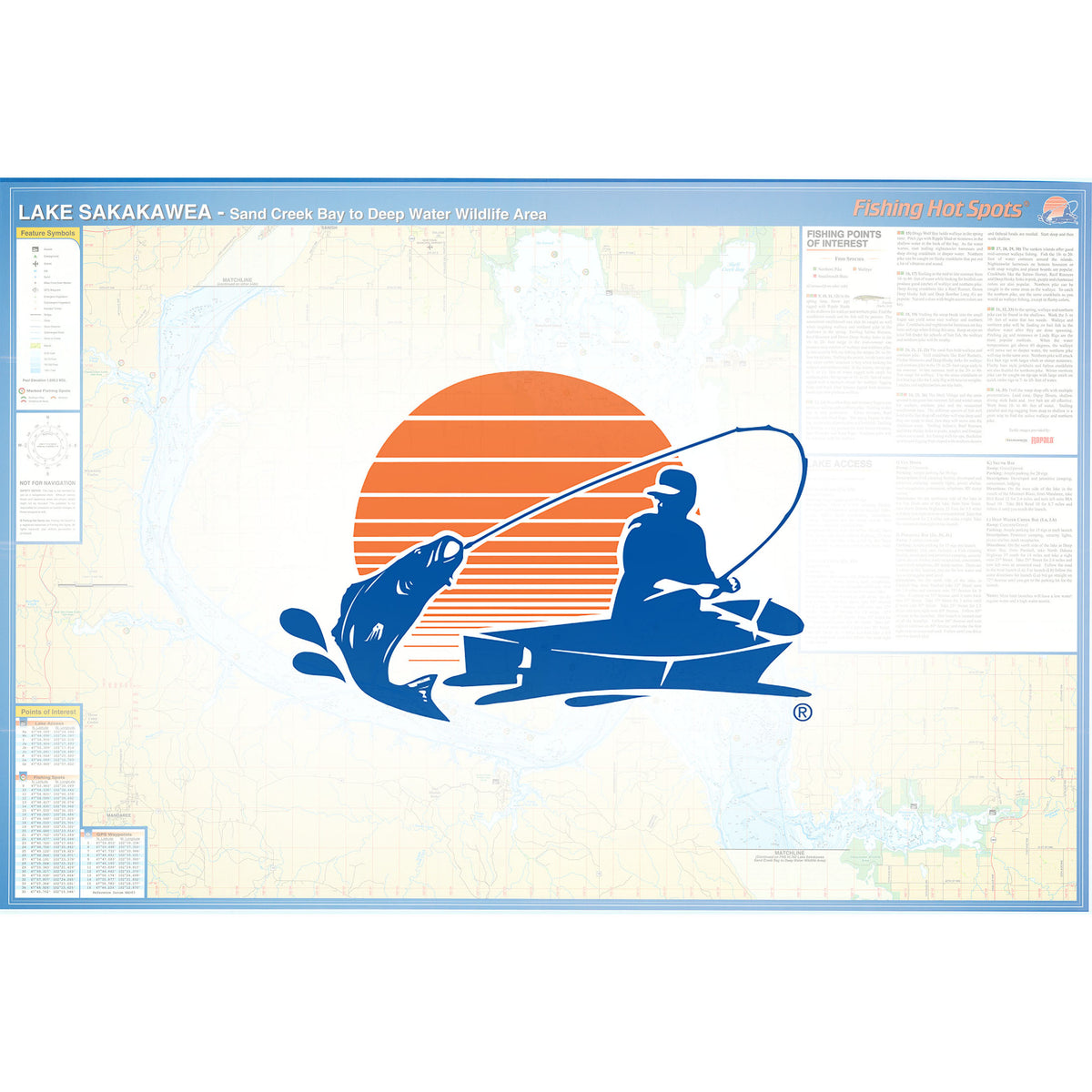
This Map covers the Sand Creek Bay To Deep Water Wildlife Area.
Map Features
- Lake Profile
- Fishery Information
- Tips and Techniques
- Over 70 Fishing Points of Interest with GPS
- 35 Marked Fishing Locations
- 11 Access Locations
- Additional GPS Waypoints Included
- Type: Folded Map
- Subtype: Fishing
- Language: English
- Regions Covered: Midwest, North America
- Countries Covered: United States
- States Covered: North Dakota
- UPC: 071365307912
- MPN: L791
- Folded Size: 6" (W) x 9" (H)
- Unfolded Size: 36" (W) x 24" (H)
- Weight: 2 oz