Adventure Cycling Association
Route 66 Cycling Map #3
Route 66 Cycling Map #3
Regular price
$16.75 USD
Regular price
Sale price
$16.75 USD
Unit price
per
Shipping calculated at checkout.
Low stock
Couldn't load pickup availability
- SKU: ADCY_BC_2603_21
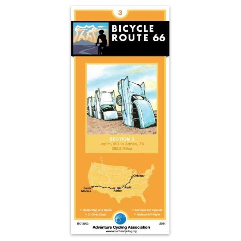
- • Historical significance ; • Best bike maps on earth: route, research, experience ; ; Bicycle Route 66 does not always follow Historic Route 66. Deviations were made based on present-day conditions. The maps in this six-piece collection are waterproof and designed to fit in a handlebar-bag window or jersey pocket. The maps provide information specifically for cyclists: the location of bike shops, sources for food and water, and listings of overnight accommodations including camping facilities, small hotels, and cyclists-only lodging. ; ; #3 Joplin, Missouri - Adrian, Texas (567 Miles) ; ; You’ll encounter both flat terrain and rolling hills on this section. Oklahoma tends to slope gradually upward from its eastern to western boundaries. Woodlands and transitional prairie grasslands, composed of shortgrass, mixed-grass, and tallgrass prairie cover the central portion of the state. In the upper portion of Texas, referred to as the Panhandle, the Great Plains become a reality in the flat, wide open expanse of country you’ll be riding through. The route parallels I-44 between the Kansas border and Oklahoma City, then uses multiple frontage roads along I-40 between Oklahoma City and Adrian, Texas. The 12.9 miles of the route in Kansas retains much of the character of the Mother Road. West of Amarillo the route is all on roads that parallel the interstate. ; ;
- Type: Folded Map
- Subtype: Bicycling
- Language: English
- Publication Date: 2021-03-30
- Scale: 1:250,000
- Regions Covered: Central U.S., North America, Southern U.S.
- Countries Covered: United States
- States Covered: Missouri, Oklahoma, Texas
- ISBN: 9780986339721
- MPN: BC2603
- Folded Size: 3.75" (W) x 8.25" (H)
- Unfolded Size: 18" (W) x 24" (H)
- Weight: .1 lb