Sky Terrain
Rocky Mountain National Park Trail Map
Rocky Mountain National Park Trail Map
Couldn't load pickup availability
- SKU: ST_RM_24
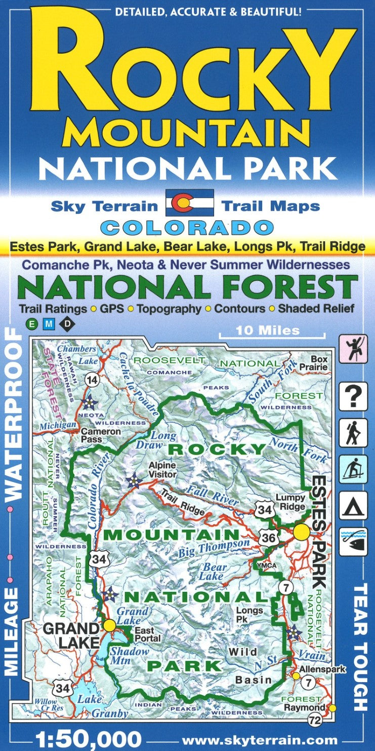
Embark on an unforgettable adventure through the heart of the Rocky Mountains National Park with the Sky Terrain Hiking Trails Map, meticulously crafted at a detailed 1:50,000 scale. Perfect for avid hikers, explorers, and nature enthusiasts, this map is your ultimate guide to discovering the hidden treasures of one of North America's most breathtaking landscapes.
Featuring comprehensive coverage of the park's extensive trail network, including popular routes and lesser-known paths, the Sky Terrain map ensures you never miss a moment of the park's natural splendor. Each trail is marked with precision, providing essential details such as elevation changes, key landmarks, and difficulty ratings, empowering you to tailor your adventure to your preferences and abilities.
Beyond its functional brilliance, the map boasts stunning cartographic artistry, capturing the rugged beauty of the Rockies with vivid color schemes and topographic contours. Whether you're navigating the towering peaks, serene lakeshores, or lush valleys, every turn of the map reveals a new vista waiting to be explored.
In addition to the main park trails, the Sky Terrain Hiking Trails Map also showcases the Comanche Peak, Neota, and Never Summer Wilderness areas, allowing you to venture deeper into pristine wilderness and experience the solitude of these remote landscapes.
For durability and usability in the field, the Sky Terrain Hiking Trails Map is printed on waterproof and tear-resistant material, ensuring reliability in all weather conditions. Its compact foldable design fits seamlessly into your backpack or pocket, ready to be pulled out whenever inspiration strikes.
Fuel your passion for outdoor exploration and embrace the spirit of adventure with the Sky Terrain Hiking Trails Map of the Rocky Mountains National Park—a trusted companion that invites you to uncover the natural wonders and untamed wilderness of this iconic American treasure.
- Type: Folded Map
- Subtype: Hiking
- Language: English
- Publication Date: 2024-06-23
- Scale: 1:50,000
- Regions Covered: Central U.S., North America
- Countries Covered: United States
- States Covered: Colorado
- ISBN: 9780966550801
- Folded Size: 4" (W) x 8" (H)
- Unfolded Size: 38.75" (W) x 23.75" (H)
- Weight: 3 oz


