Map Adventures
Rockland Area Hiking & Biking Waterproof Trail Map
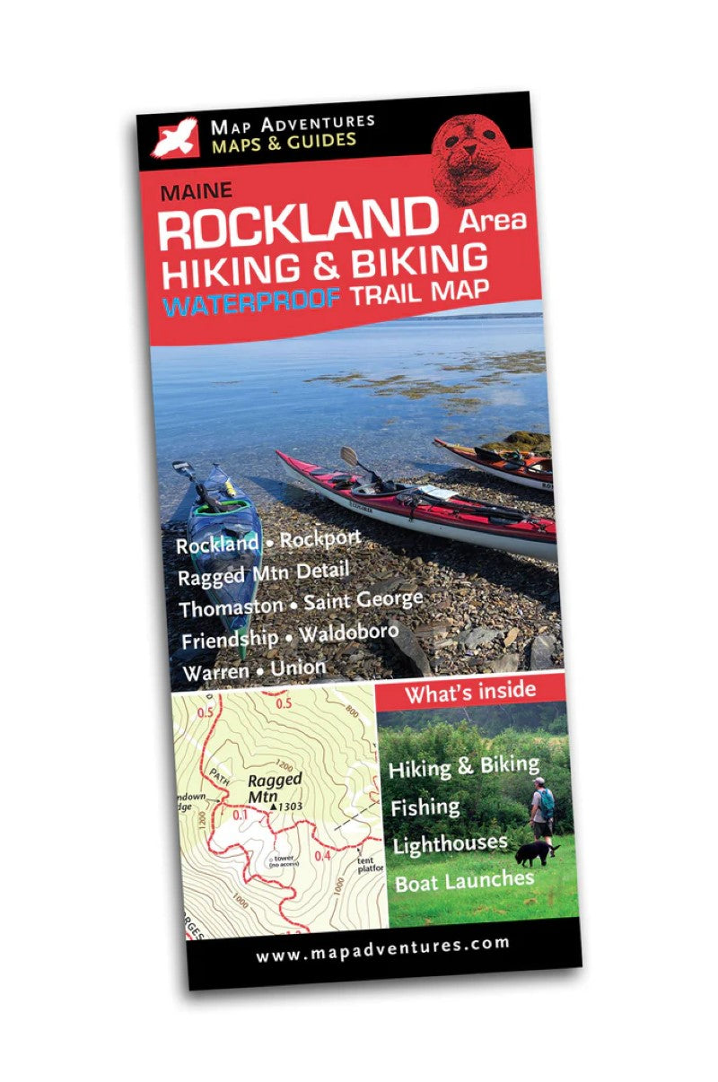
Rockland Area Hiking & Biking Waterproof Trail Map
Couldn't load pickup availability
- SKU: MADV_ROCKLAND_21
Rockland sits on Penobscot Bay and is home to a large windjammer fleet. It also has nearly a mile-long granite pier, the Rockland Breakwater leading to a lighthouse with views of the bay, as well as the popular small Owls Head State Park and lighthouse. Rockport is a working waterfront for both fisherman and recreational boaters. Explore all of the walkable small towns featured on this map.
Hiking, biking, art museums, fishing access, swimming and small boat launches highlight the uniqueness of the area.
Map Adventures' Staff pick for the unusual and fun is the Transportation Museum in Owls Head.
Rockland is the companion map to Camden Hills Map, you will want to own both!
Map Features
- Hiking trails with 11 suggested day hikes
- Bike routes with 3 suggested day rides
- Ragged Mountain
- Mountain biking
- Fishing access
- Small boat launch's, swimming & lighthouses
- Camping
- Mileage between points
Areas Covered
- Friendship
- Rockland
- Rockport
- Saint George
- Thomaston
- Union
- Waldoboro
- Warren
Waterproof Map: 18" x 24" unfolded | ISBN 978-1-890060-51-0 | scales 1:15 000 and 1:63 360 | Map Adventures LLC- Type: Folded Map
- Subtype: Hiking
- Language: English
- Publication Date: 2021-01-01
- Scale: 1:15,000 / 1:63,360
- Regions Covered: Mid-Atlantic/Northeastern U.S., North America
- Countries Covered: United States
- States Covered: Maine
- ISBN: 9781890060510
- Folded Size: 4" (W) x 9" (H)
- Unfolded Size: 27" (W) x 19.5" (H)
- Weight: 1.7 oz