1
/
of
1
PublicPress DE
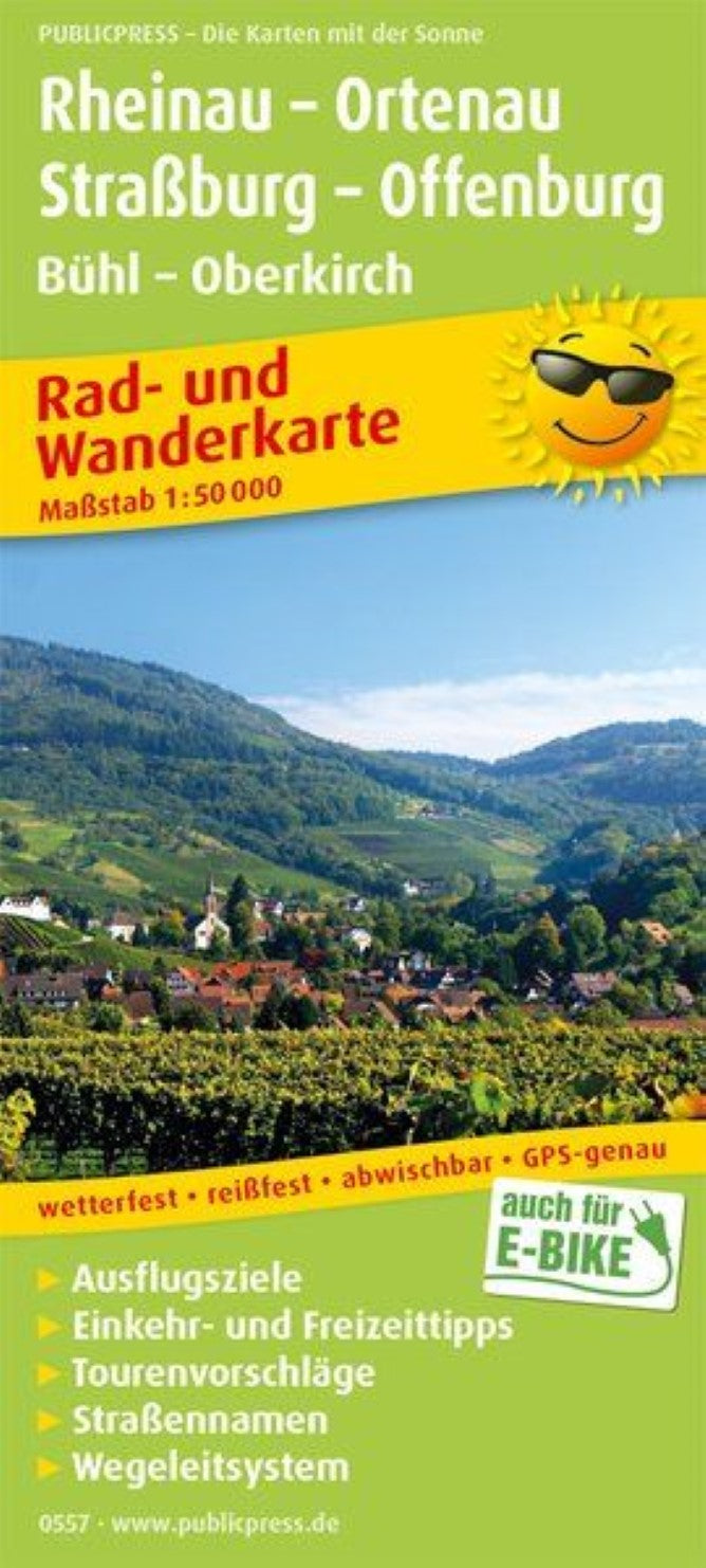
Rheinau - Ortenau, Straßburg - Offenburg, Bühl - Oberkirch = Rheinau - Ortenau, Straßburg - Offenburg, Bühl - Oberkirch
Rheinau - Ortenau, Straßburg - Offenburg, Bühl - Oberkirch = Rheinau - Ortenau, Straßburg - Offenburg, Bühl - Oberkirch
Regular price
$14.95 USD
Regular price
Sale price
$14.95 USD
Unit price
/
per
Shipping calculated at checkout.
Low stock
Couldn't load pickup availability
- SKU: PUB_HC_557_RHEINAU_19
- The Rheinau- Ortenau- Strasbourg- Offenburg cycling and hiking map focuses on a very varied region, which can be actively explored thanks to numerous cycle and hiking trails. The eastern map section presents the Black Forest Nature Park from Bühl to Oppenau and can be experienced perfectly by pedes on the red hiking trails marked. In the west, the Rhine limits the map section. Ufer-near, France and Germany connecting cycling and hiking trails are marked. You can find out what highlights cities such as Strasbourg, Kehl, Offenburg but also Bühl and Oberkirch can be offered in the information section of the map. In addition, there are also short descriptions of the hiking and bike paths as well as a side map to the Rhine crossing near Strasbourg.
- Type: Folded Map
- Subtype: Outdoor Recreation Maps
- Language: German
- Publication Date: 2019-03-31
- Scale: 1:50,000
- Regions Covered: Central Europe, Europe
- Countries Covered: Germany
- ISBN: 9783747305577
- MPN: PP 0557
- Folded Size: 3.54" (W) x 7.86" (H)
- Unfolded Size: 35.4" (W) x 23.58" (H)
- Weight: 2.12 oz


