MapArt Publishing Corporation
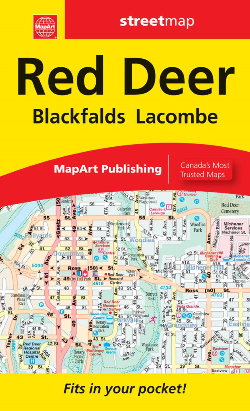
Red Deer, Blackfalds, Lacombe : Alberta Street Map
Red Deer, Blackfalds, Lacombe : Alberta Street Map
Couldn't load pickup availability
- SKU: CCC_RED_DEER_25
This handy folded map fits conveniently into your pocket and includes a detailed city map of Blackfalds, Lacombe and Red Deer at 1:25,000, a detailed street index, and a map legend.
Detailed city map features include divided highways, major roads, secondary roads, main thoroughfares, minor streets, lanes / private streets, interchange numbers, one way streets, railways, VIA Rail stations, carpool parking, municipal boundaries, recreation trails, parks / conservation areas, golf courses, commercial areas, cemeteries, institutional areas, industrial areas, special attractions, Indian Reserves, National Defence, hospitals, tourist information centres, police stations, fire halls, municipal / regional buildings, courthouses, libraries, points of interest, off leash dog parks, beer, liquor stores, national parks / historic sites, arenas, community / recreation centres, pools, baseball, soccer, tennis, skiing, campgrounds, public and catholic schools
Dimensions: Folded: 10.795 x 17.9 cm (4.25 x 7.0625 inches) Unfolded: 35.56 x 64.77 cm (14 x 25.5 inches)
Proudly made in Canada!
- Type: Folded Map
- Subtype: Road
- Language: English, French
- Publication Date: 2025-11-01
- Scale: Scales differ
- Regions Covered: North America
- Countries Covered: Canada
- States Covered: Alberta
- ISBN: 9781554862597
- UPC: 061158012598
- Folded Size: 4.25" (W) x 7.0625" (H)
- Unfolded Size: 14" (W) x 25.5" (H)
- Weight: 1.9 oz