Hema Maps
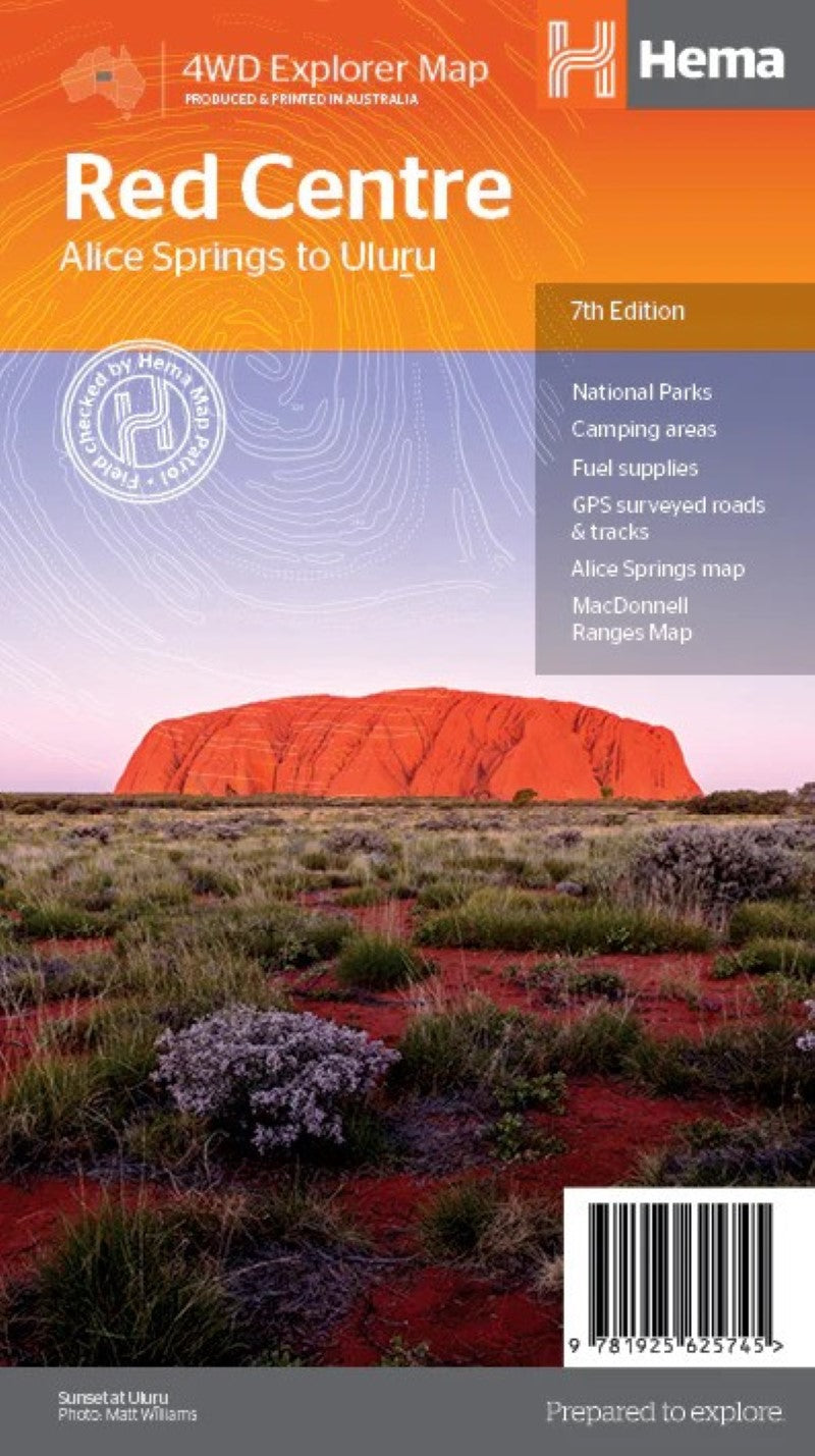
Red Centre Regional Map
Red Centre Regional Map
Regular price
$14.95 USD
Regular price
Sale price
$14.95 USD
Unit price
per
Shipping calculated at checkout.
Couldn't load pickup availability
- SKU: HEMA_RED_CENT_19
- This regional Red Centre map is ideal for discovering the quintessentially Australian landscape of at the heat of the country. The main map covers the area around Alice Springs, including Uluru, Kata Tjuta, West MacDonnell Range and Watarrka National Park. And to ensure it goes the distance, the map is printed on tough, waterproof paper.
- Type: Folded Map
- Subtype: Road
- Language: English
- Publication Date: 2019-06-01
- Regions Covered: Australasia, Oceania, Pacific Ocean
- Countries Covered: Australia
- States Covered: Northern Territory
- ISBN: 9781925625745
- Folded Size: 4.72" (W) x 9.76" (H)
- Unfolded Size: 39.37" (W) x 27.17" (H)
- Weight: 3.17 oz