1
/
of
1
Freytag & Berndt
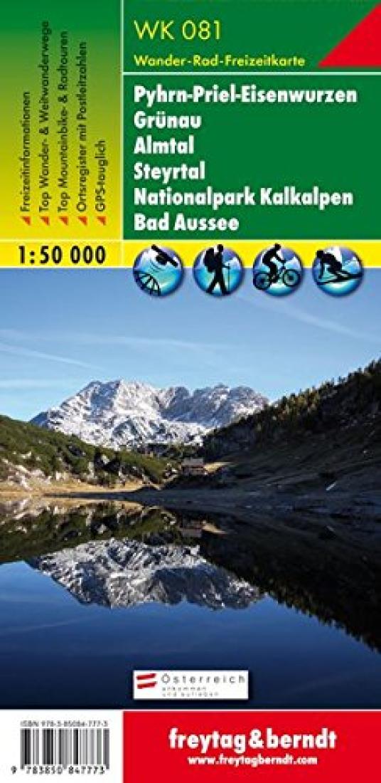
Pyhrn-Priel-Eisenwurzen : Grunau : Almtal : Steyrtal : National Park Kalkalpen : Bad Aussee Hiking-Cycling-Leisure map, 1:50,000
Pyhrn-Priel-Eisenwurzen : Grunau : Almtal : Steyrtal : National Park Kalkalpen : Bad Aussee Hiking-Cycling-Leisure map, 1:50,000
Regular price
$12.95 USD
Regular price
Sale price
$12.95 USD
Unit price
/
per
Shipping calculated at checkout.
Low stock
Couldn't load pickup availability
- SKU: FB_WK_50_81_14
- Folded hiking map covering Vorchdorf to Gossl, Ebensee to Ternberg. Also shows Steyrtal, National Park Limestone Alps and Bad Aussee. Includes guide booklet in German. Map legend in French, English, and German. WK 81.
- Type: Folded Map
- Subtype: Hiking
- Language: German
- Publication Date: 2014-06-01
- Scale: 1:50,000
- Regions Covered: Central Europe, Europe
- Countries Covered: Austria
- ISBN: 9783850847773
- Folded Size: 3.94" (W) x 8.27" (H)
- Unfolded Size: 33.46" (W) x 37.8" (H)
- Weight: 5.7 oz


