1
/
of
1
PublicPress DE
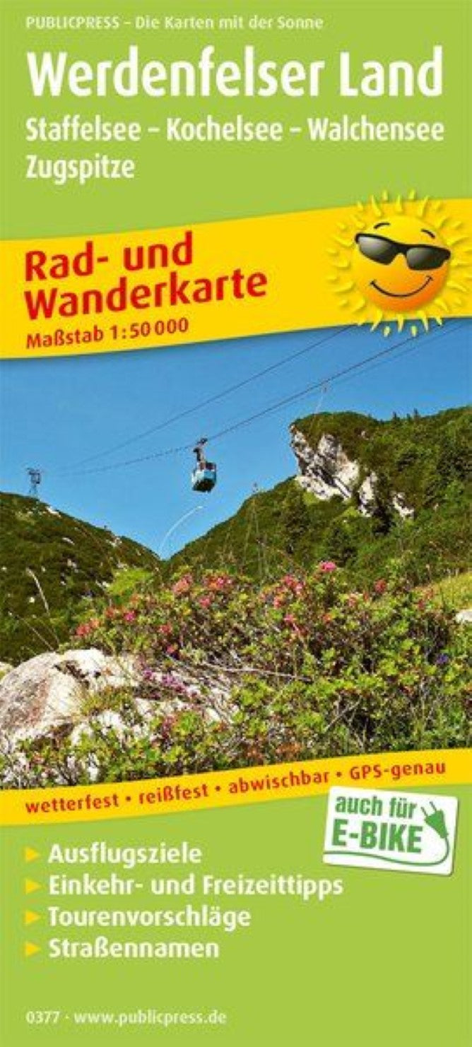
Werdenfelser Land, Staffelsee - Kochelsee - Walchensee - Zugspitze = Werdenfelser Land, Staffelsee - Kochelsee - Walchensee - Zugspitze
Werdenfelser Land, Staffelsee - Kochelsee - Walchensee - Zugspitze = Werdenfelser Land, Staffelsee - Kochelsee - Walchensee - Zugspitze
Regular price
$14.95 USD
Regular price
Sale price
$14.95 USD
Unit price
/
per
Shipping calculated at checkout.
Couldn't load pickup availability
- SKU: PUB_HC_377_WERDEN_19
- The map section offers in the northern part v. a. Cycling trails through the Bavarian Oberland with its lakes (Kochel-, Walchen-, Staffelsee). Another long -distance cycle path leads along the Isar. In the Werdenfelser Land with its mountains, conditioning hiking trails are marked. A side map in the infote section offers an insight into the Zugspitz region. The marked paths and the tourist destinations and places in the region are described.
- Type: Folded Map
- Subtype: Outdoor Recreation Maps
- Language: German
- Publication Date: 2019-01-08
- Scale: 1:50,000
- Regions Covered: Central Europe, Europe
- Countries Covered: Germany
- ISBN: 9783747303771
- MPN: PP 0377
- Folded Size: 3.54" (W) x 7.86" (H)
- Unfolded Size: 35.4" (W) x 23.58" (H)
- Weight: 2.12 oz


